Over 100,00 miles of rivers and streams crisscross the state of Oregon, and it boasts more federally designated Wild and Scenic segments of river than anywhere else in the country. Water practically outlines the state with the Pacific Ocean on the west, the Columbia River defining much of the northern boundary with Washington, and the Snake River marking the eastern boundary with Idaho. You could say that Oregonians have gallons of reasons to care about water.
Our Watershed Advocacy Using Technology and Environmental Research for Sustainability (WATERS) project is expanding to rural Oregon. The National Science Foundation-funded WATERS project is developing and researching a student-centered, universally accessible curriculum for teaching water concepts and water career awareness to middle school students.
In November, six middle school teachers participated in a combination of online Zoom and local face-to-face professional development sessions, learning how to determine the health of a local stream or lake and designing conservation practices that protect watersheds from human-produced runoff and pollution. The workshop took place in several locations, including a downtown Bend Environmental Center, a wilderness lodge along Tumalo Creek called Skyliner Lodge, and classroom spaces in the High Desert Museum nearby.
Joining the WATERS Concord Consortium Principal Investigator Carolyn Staudt and Senior Project Manager Sarah Haavind at the training were statewide leaders in environmental science education. Katie Chipko is the Center Director from the Children’s Forest Central Oregon and Kolleen Miller is the Staff Developer from the Upper Deschutes Watershed Council.
Three weeks prior to the start of the workshop, project staff tethered five leaf packs in a slow-moving local stream. Macroinvertebrates, including aquatic worms, crayfish, mayflies, and more feed on and live in the leaf pack. Because certain aquatic macroinvertebrates are sensitive to pollution, while others are quite tolerant, they are good indicators of stream health. On the day we planned to recover the leaf packs, the local stream had swelled during an unexpected storm.
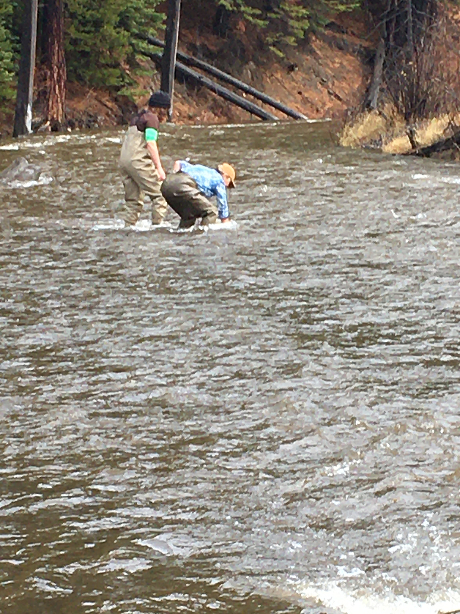
Miller and one teacher had waders in their cars, so they were able to hunt for leaf packs in the suddenly swollen study stream.
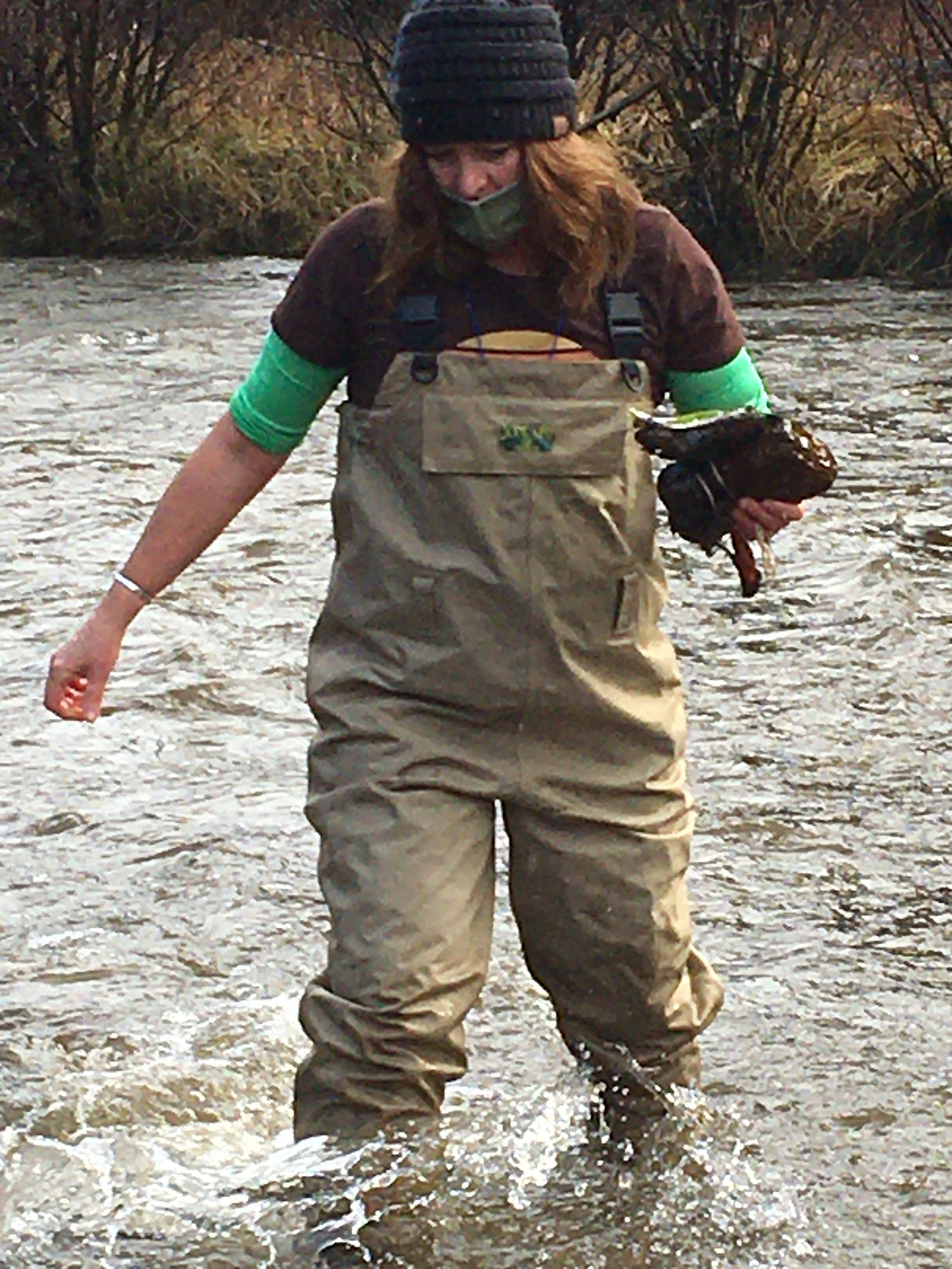
Two of the five leaf packs were found. We were able to return to the site later and retrieve the others, once the waters had subsided and we could locate their rocky anchors.
Miller and one of the middle school teachers donned their hip waders and searched downstream, eventually locating two of the leaf packs. (Note: You can determine the health of a virtual stream using a simulated leaf pack.)
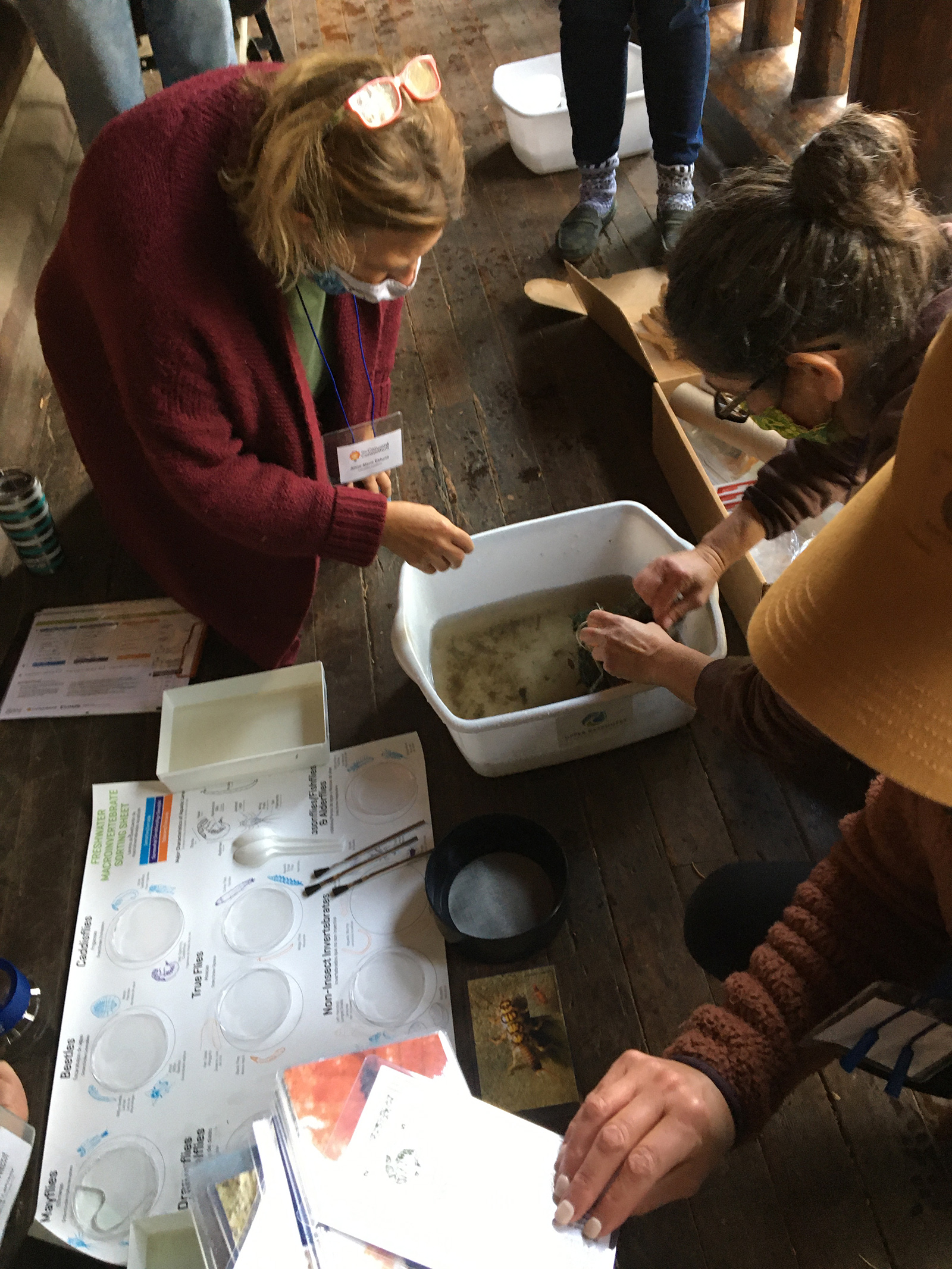
The rushing water from the stream likely washed away the number and variety of macroinvertebrates that would be expected in a wilderness area. But teachers did find some, and then returned them all back to their stream before too long.
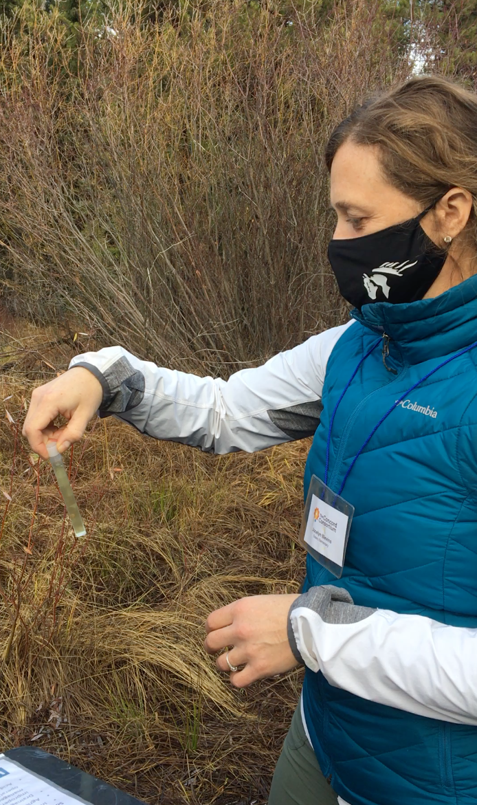
Water quality tests were also conducted streamside.
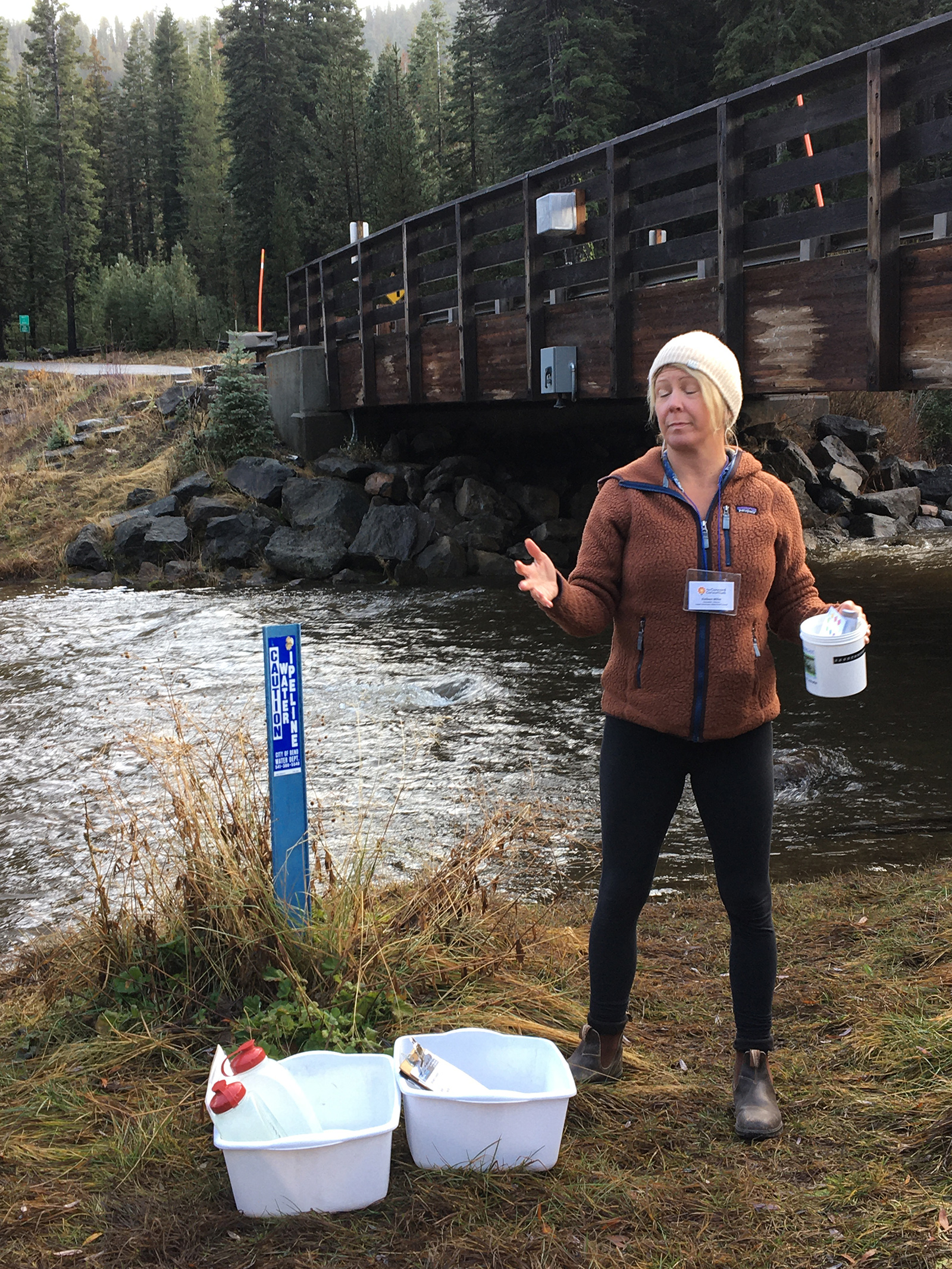
Miller walks teachers through chemical water quality testing.
Teachers returned to the lodge to sort the macroinvertebrates using the Leaf Pack Stream Ecology Kit, which includes a tray, dichotomous key, biotic index key, aquatic insect flash cards, and a macrolens.
After determining the health of the stream based on the number of live macroinvertebrates, the teachers returned once again to the stream to test the water’s inorganic health with low-cost water testing kits. Tumalo Creek is the water source for the City of Bend, so teachers were pleased and reassured to discover results that confirmed the good health of the stream, even as it ran so high on that day.
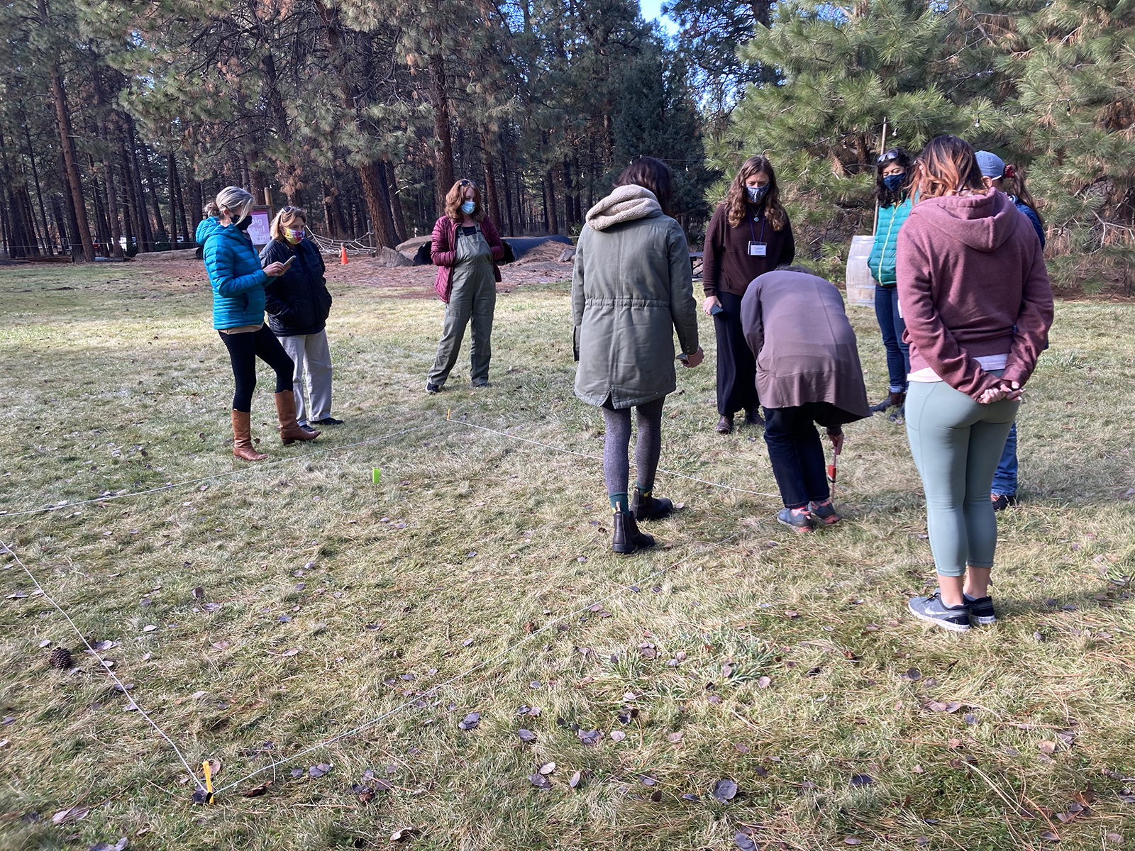
The teachers measured out a field site on a pervious surface (grass) to compare above ground temperature and humidity with the same above an impervious (paved) surface nearby.
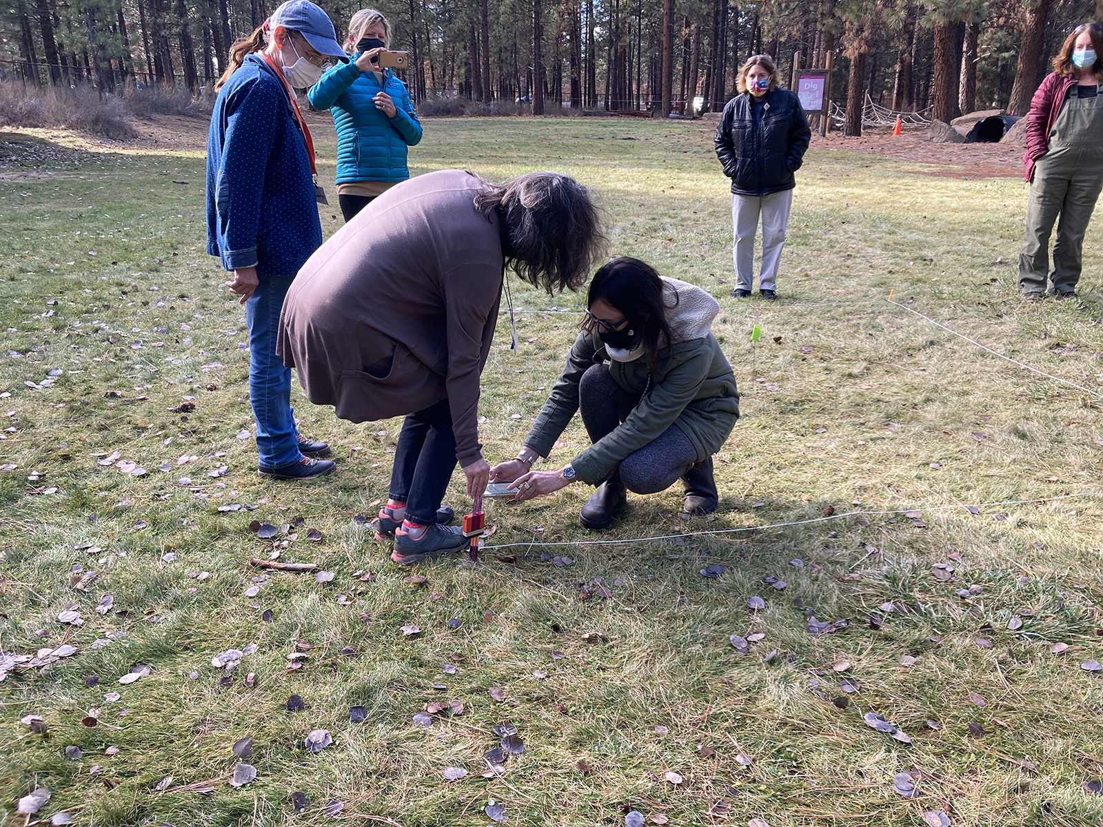
Teachers attach a SensorTag to capture data above the pervious surface.
The final in-person day was spent at the High Desert Museum where the teachers set up two comparison sites to consider possible conservation practices to better care for the local watershed. One of the sites was impervious land cover and the other site was pervious land cover. They used Texas Instruments SensorTags to study the differences in relative humidity, light, and temperature at each site. These readings relate to the amount of evapotranspiration that goes into the atmosphere at each location.
One teacher observed, “I thought the workshop was a great mix of hands on, in class, and outside.” Another enthused, “I appreciate all the tools and you walking us through them and how they work!”
In February 2022 we plan to offer another professional development workshop with a second group of middle school teachers. There’s lots of water in Oregon to explore.