Julia LaCava is a summer intern at the Concord Consortium. A junior at Ithaca College, she majors in communications.

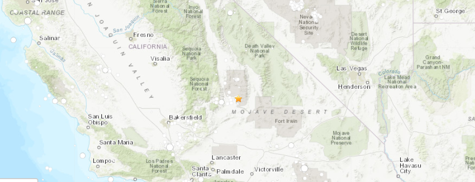
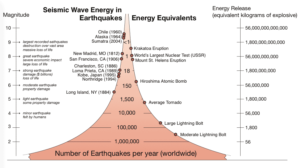
A massive 7.1 magnitude earthquake occurred July 5 in southern California near Ridgecrest, the strongest to hit the area in 20 years. The quake followed the Independence Day 6.4 magnitude earthquake the previous day north of Ridgecrest. While the increase in magnitude may not seem like a big deal, the difference is drastic. The 7.1 magnitude earthquake was 11 times more energetic than the 6.4 earthquake. A jump from 6 to 7 magnitude on the Richter scale means the potential difference between some property damage to major damages and risks the loss of life.

Energy released during earthquakes compared to other events. Different magnitudes can produce different outcomes.
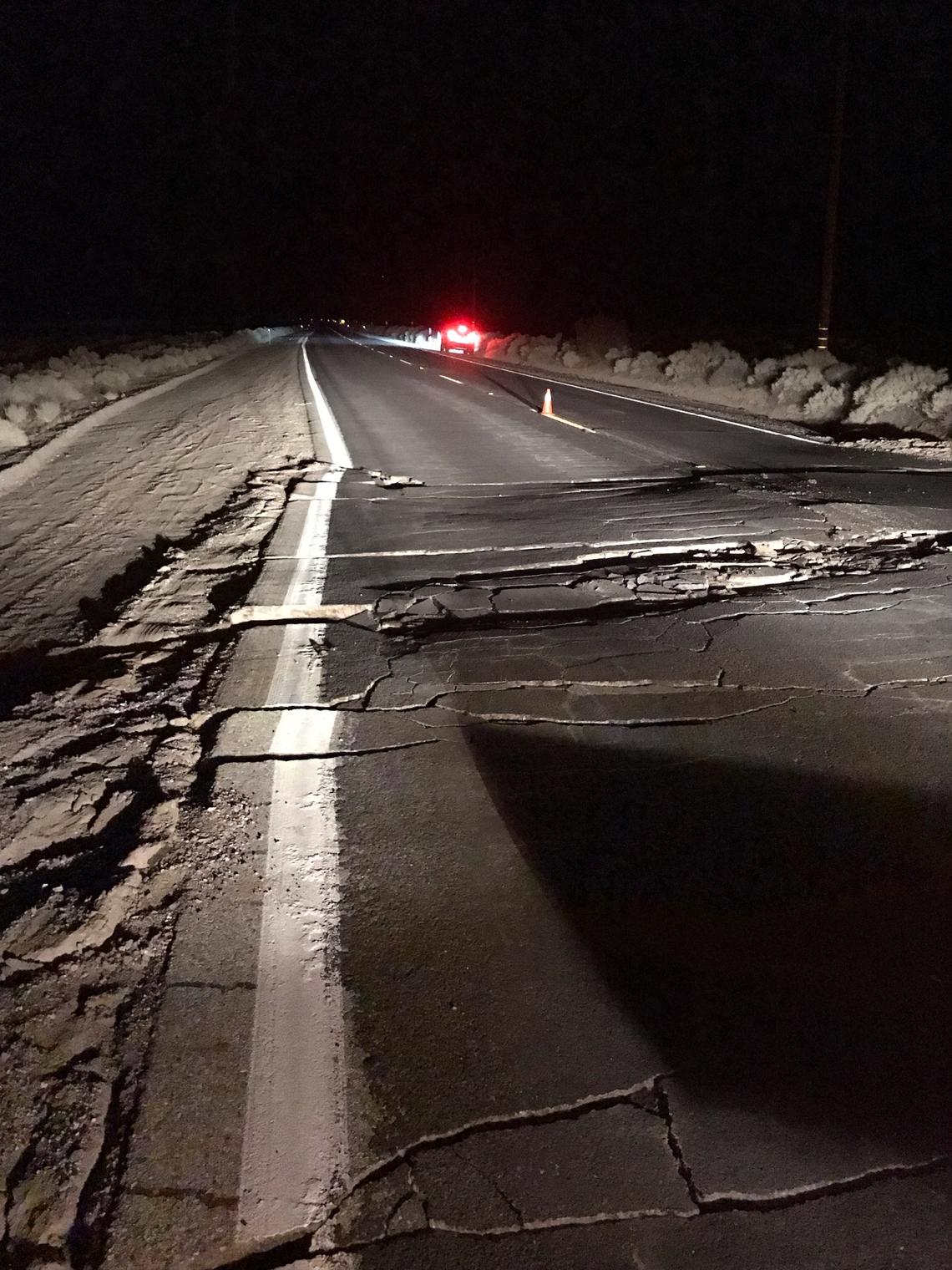
The shaking from the earthquake was felt by millions of people across the region, including those in Los Angeles and as far away as Las Vegas! Aftershocks of the earthquakes are frequent and have already totaled into the thousands. Damage is estimated to cost more than $100 million, according to CNBC. Although there was major damage, because it did not occur to close to a major city, there were no reports of lives lost.

These earthquakes were caused by a strike-slip event. This means two geologic blocks slide past one another horizontally. Based on the patterns identified by geologists, it appears that the earthquakes are happening on two connected faults.
Use the Seismic Explorer below to explore these historic events. Seismic Explorer is zoomed in on southern California and shows the earthquakes and aftershocks in the region from June 29 to July 9.
Press play to see the earthquakes appear as white and red dots (the size of the dot corresponds to the magnitude of the quake, the color corresponds to the depth). Adjust the magnitude and the date slider, change the map types, or make a cross-section.
Can you see why geologists think these earthquakes are happening on two different faults? What else do you observe from this data?