Category: Earth Science Education
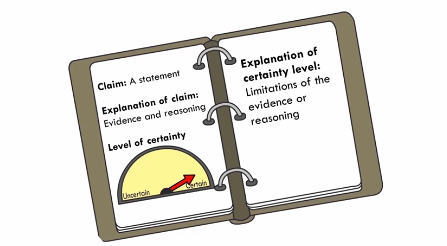
Prompted by an editorial in the Wall Street Journal entitled “Absolute certainty is not scientific,” we wrote on this blog, “With the ongoing polarization of science in today’s political environment, it’s more important than ever to remember that science is filled with uncertainty.” That was 2011, and it is still just as true today. At […]
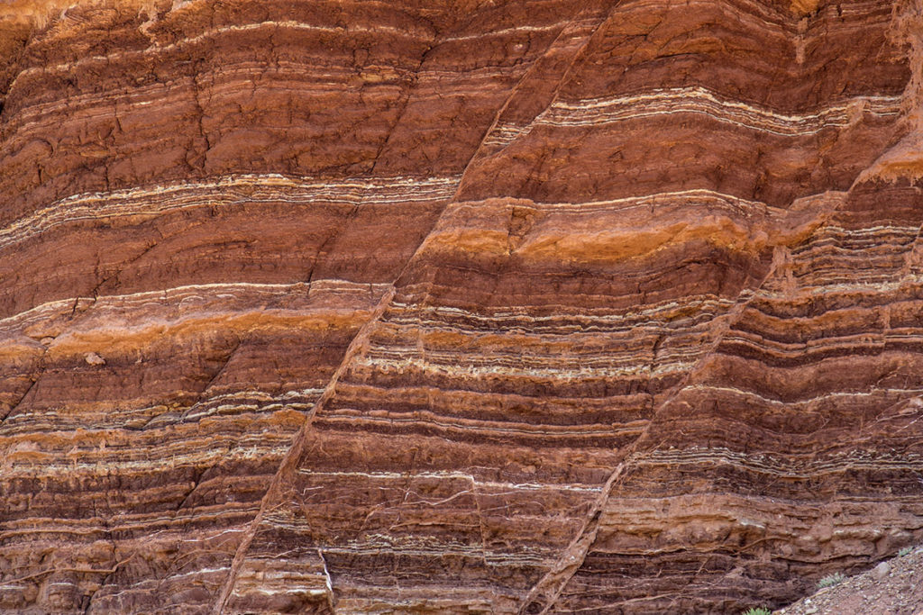
Earth science classes typically present plate tectonics and the rock cycle as separate and unrelated concepts. Yet land and rock formation are directly related to the tectonic environments in which they form. Indeed, plate tectonic interactions are fundamental to understanding geological processes. A new project funded by the National Science Foundation is focused on teaching […]
I’ve been thinking a lot about natural hazards while working on the GeoHazard: Modeling Natural Hazards and Assessing Risks project, which is developing curriculum materials for middle and high school students. While helping the team think about how to communicate about the materials being developed, I’ve also been thinking more about the hazards and risks I’m facing through the COVID pandemic and the impact it has already had on my life.
If you think wildfires are in the news more now than in the past, it’s not your imagination. Rather, the increase in wildfires is a trend that scientists have also noticed. One of the many factors driving this change is due to a rise in global temperatures. Because of climate change, droughts are intensifying and fire seasons are getting longer. Scientists are exploring all the factors that influence wildfire behavior and considering the results of experimental computer models with field data.
This spring I had the opportunity to pilot the new online GeoCode tephra activities developed as part of the NSF-funded Visualizing GeoHazards and Risk with Code project with my 9th grade Honors Earth Science classes in Evergreen, Colorado. I’d been looking forward to the pilot for months, but only a handful of weeks before our […]
Now more than ever, teachers are looking for Earth and environmental science activities they can use in any classroom environment, whether it’s face-to-face or remote. We have developed a collection of innovative curriculum and embedded Earth system models and teacher resources, and want to ensure that these resources can be used by any teacher, anywhere. […]
The GeoHazard team contributed to this blog post. We have just wrapped up a week of remote professional learning for our GeoHazard: Modeling Natural Hazards and Assessing Risks project. The goal of GeoHazard is to help students interpret data and understand the factors influencing the progression of and risks associated with natural hazards. Due to […]
The High-Adventure Science modules, first written in 2011-2013, are each based on a big unanswered question in Earth/environmental science. These six modules include interactive computer-based systems models and real-world data that students use for evidence as they develop scientific arguments. The modules incorporate real-world data from the National Aeronautic and Space Administration, National Oceanic and […]
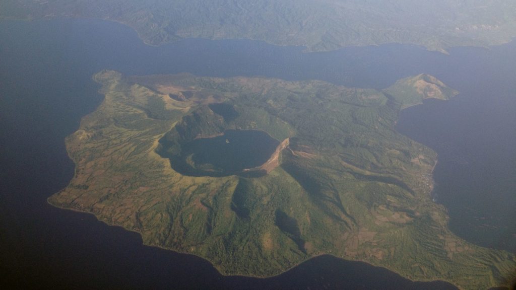
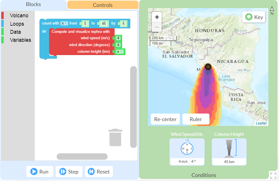
All volcanic eruptions are dangerous. Some are more dangerous than others. Volcanic eruptions range from slow, relatively gentle flows of lava to explosive eruptions of gases, ash, and rock. Our Visualizing Geohazards and Risk with Code project (GeoCode) challenges students to model tephra volcanic eruptions (tephra refers to all particles ejected explosively from a volcano, […]
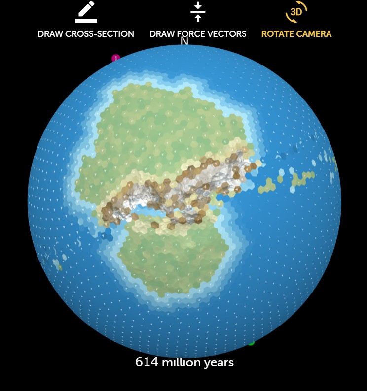
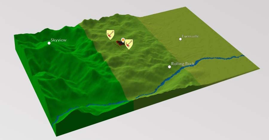
Julia LaCava was a summer intern at the Concord Consortium. A junior at Ithaca College, she majors in communications. Imagine being able to set up a simulation of an Earth-like planet to explore tectonic plate movement and see the results of plate interactions. Now your students can do just that, thanks to our new Tectonic […]