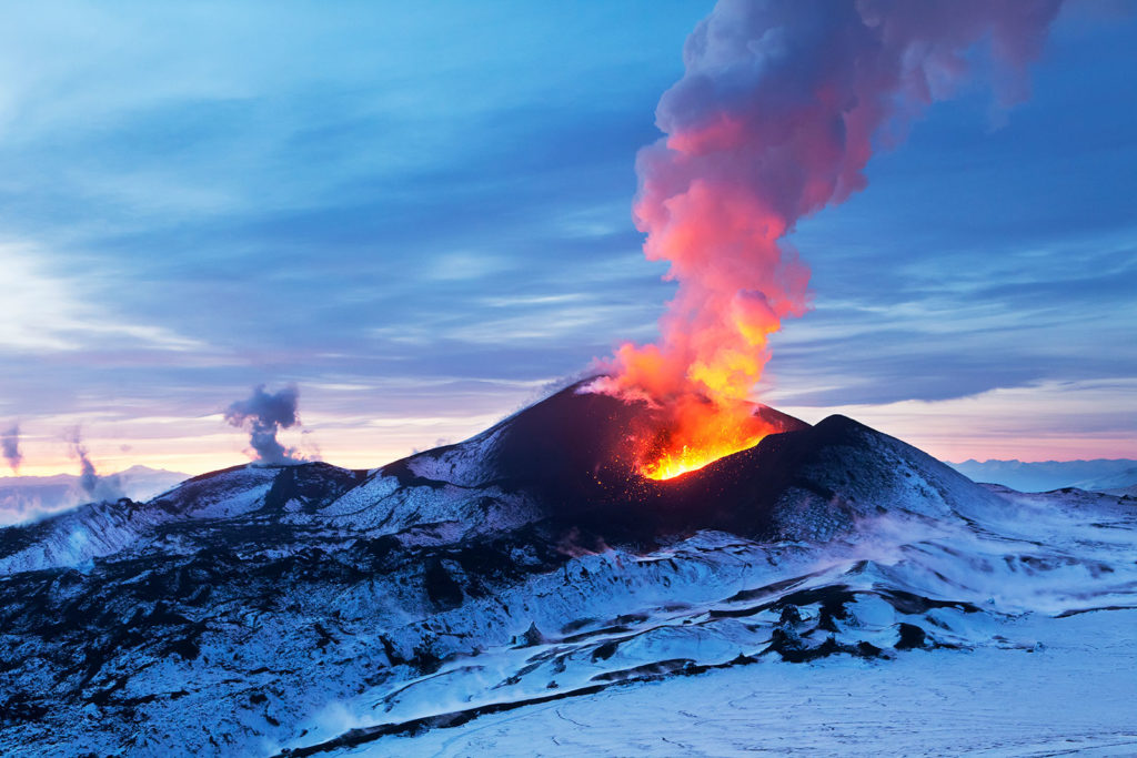
Volcanoes are some of the most impressive and unstoppable features on Earth. From the amazing artifacts at Pompeii to the photos of forests flattened by lava flows, the dangers associated with volcanoes are both terrifying and awe-inspiring. However, despite the risks, millions of people live in constant threat of damage to their homes, and more importantly, to their own lives.
What are the factors that influence the impacts of a volcanic eruption? How do scientists quantify the risks to communities living in the shadow of a volcano? How do citizens think about the impacts associated with the hazards?
The new GeoCode Explorer model and curriculum developed in partnership with UNAVCO and the University of South Florida allows students to investigate these questions. The GeoCode curriculum engages students in problem-solving using practices similar to those of scientists who study real-world volcanic geohazards. Students transform scientific-grade, real-world GPS data into interpretable visualizations and use them as evidence in scientific arguments that predict the impact of tephra (rock fragments and dust) from volcanic eruptions. The GeoCode Explorer is scientifically accurate and based on real models used in volcanology.
Students perform virtual experiments by manipulating different environmental factors, such as wind direction and wind speed, to investigate the uncertainty involved in predicting the location of tephra fall out from eruptions. They also explore features of volcanoes including column height and eruption mass.
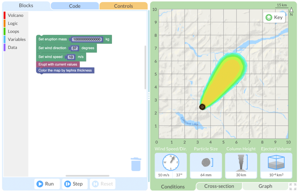
Students use a block programming language adopted from Google’s Blockly to construct code using variables that results in a volcanic eruption. The tephra distribution is displayed on a map along with eruption data and environmental conditions.
Students use a scaffolded visualization programming tool that leverages a block programming paradigm to write functions, create visualizations such as cross-sections and graphs, and conduct statistical analysis. Students can efficiently iterate through combinations of different variables and develop their understanding of eruption influences.
At the end of the module, students are faced with the capstone challenge: Using past environmental and eruption data to create a risk map for a potential future volcanic eruption. Through techniques only possible with computing, students randomly sample real wind field data to visualize the possibilities of a future eruption. Students grapple with overcoming uncertainty in prediction and gain an understanding of the risks involved with natural hazards.
Not only are geohazards scientifically important, but they are also captivating to students. Designed for both middle and high school, GeoCode Explorer is the perfect tool for those interested in coding, computational science, and Earth science. By integrating this one-week module into Earth or environmental science classes, computer science classes, or out-of-school time programs, students have the chance to learn important computational thinking practices in an authentic and exciting learning environment.
The GeoCode Explorer model and curriculum are aligned to the Next Generation Science Standards by prompting students to analyze and interpret data on natural hazards in order to both consider their potential impact and mitigate their effects, and use scientific evidence to build understanding.
Want to try GeoCode Explorer in your classroom this year? Apply now and feel free to reach out to us with any questions.
One thought on “Use GeoCode Explorer to teach about volcanoes and block programming”
Comments are closed.
Hi
I am a former volcanologist and now a high school teacher in France and I would be interested in trying Geocode Explorer in my classroom. I teach Earth and life Sciences in english and this tool seems to be very fitting to my lesson plan! Is it possible to get involved from France?