Category: Tag: Seismic Explorer
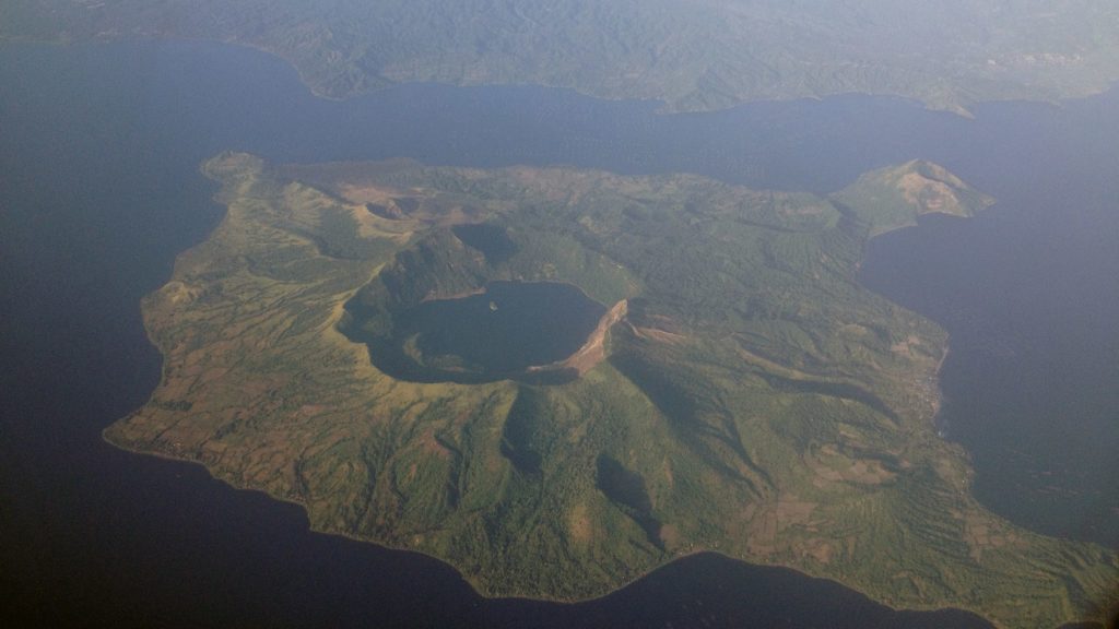
All volcanic eruptions are dangerous. Some are more dangerous than others. Volcanic eruptions range from slow, relatively gentle flows of lava to explosive eruptions of gases, ash, and rock. Our Visualizing Geohazards and Risk with Code project (GeoCode) challenges students to model tephra volcanic eruptions (tephra refers to all particles ejected explosively from a volcano, […]
Julia LaCava was a summer intern at the Concord Consortium. A junior at Ithaca College, she majors in communications. Earth’s surface is dynamic and changing all the time. Volcanic eruptions and earthquakes alter the landscape, sometimes in very dramatic and sudden ways. On a much longer time scale, the movement of Earth’s plates can change […]
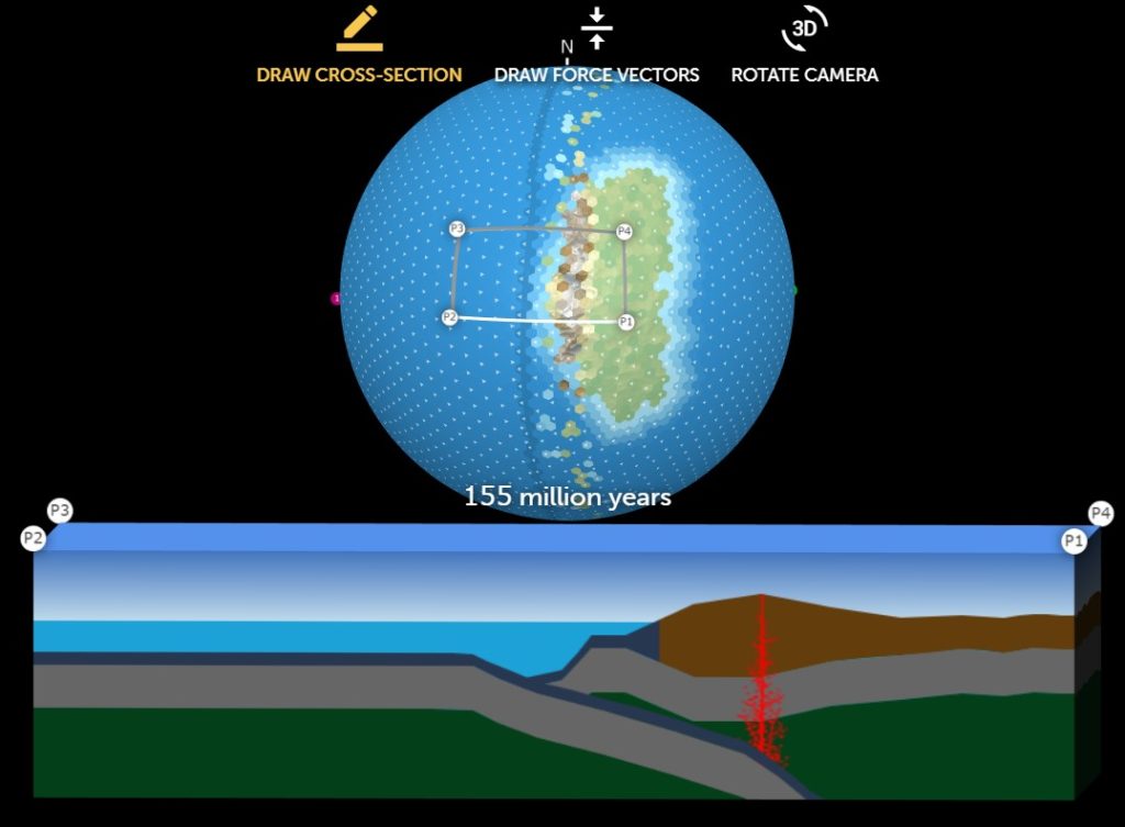
Julia LaCava was a summer intern at the Concord Consortium. A junior at Ithaca College, she majors in communications. We are excited to announce the public release of our new model-based curriculum that teaches plate tectonics like never before! “What will Earth look like in 500 million years?” was developed by our Geological Models for […]
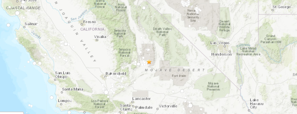
Julia LaCava is a summer intern at the Concord Consortium. A junior at Ithaca College, she majors in communications. A massive 7.1 magnitude earthquake occurred July 5 in southern California near Ridgecrest, the strongest to hit the area in 20 years. The quake followed the Independence Day 6.4 magnitude earthquake the previous day north of […]
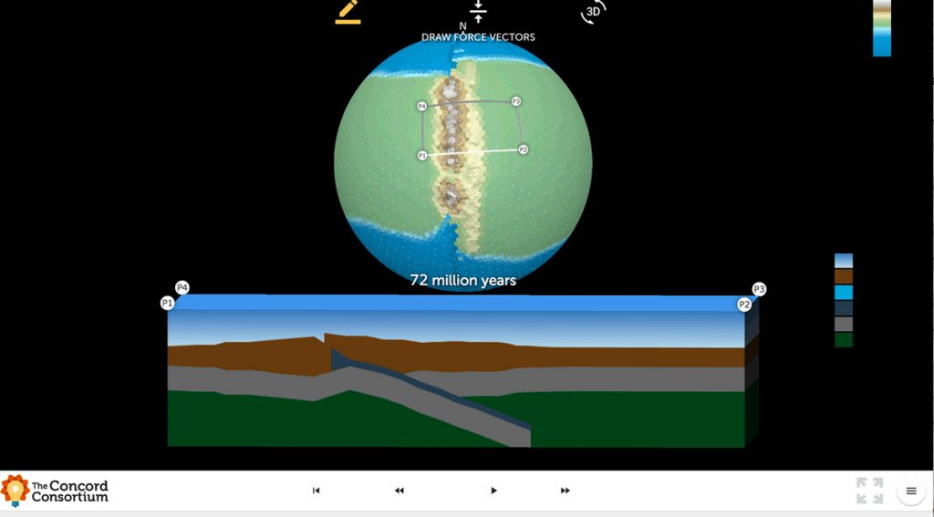
We are excited to introduce the *beta version* of Tectonic Explorer, our newest Earth system model, developed by our GEODE project. Tectonic Explorer features a complex system of interacting tectonic plates around an entire planet — in this case a simplified, Earth-like planet. For the first time in K-12 education, students will be able to […]
Kilauea, Hawai’i’s youngest and most active volcano, has been continuously erupting since 1983. But it made news again recently with large earthquakes and lava fountains erupting in residential areas. Have you ever wondered what’s going on with Kilauea? Can scientists predict when and where a volcano will next erupt? You can use Seismic Explorer to […]
In his spare time, Saul Amster likes to program. He’s currently working on a project to turn a tablet into a magic mirror. Yes, like Snow White’s evil stepmother (“Mirror, mirror on the wall…”), except imagine asking the mirror for the day’s forecast or the score of last night’s game. “Programming is an interesting hobby,” […]
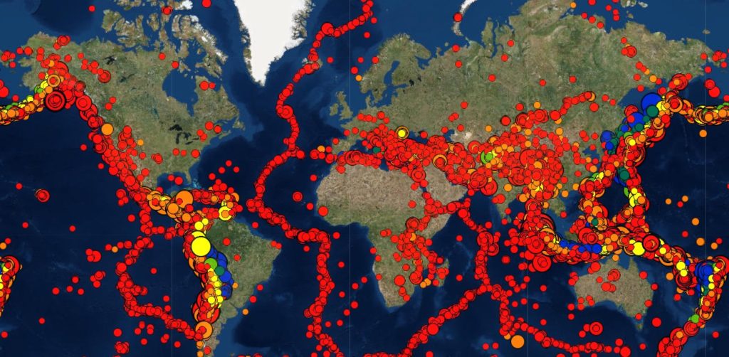
Earthquakes occur worldwide daily, and their aftereffects vary widely, from minimal to devastating. From California to the Mediterranean, some communities live with the threat and consequences of earthquakes and their aftershocks on a regular basis. Understanding what causes an earthquake is not easy. How is it possible to visualize monumental slabs of Earth moving? And […]
Geoscience poses many questions. Why are there continents and oceans? How do mountains form? Why do volcanoes form in some areas and not others? What causes earthquakes to be more frequent in some areas than others? Why are oil, diamond, gold, and other deposits clustered in particular areas rather than being spread evenly across the […]
