Category: Tag: volcano
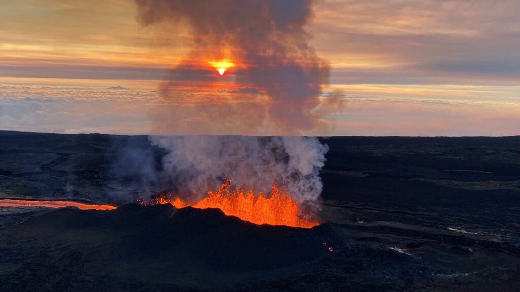
Hawaiʻi’s iconic volcanoes have shaped its islands, culture, and communities for centuries. From the breathtaking eruptions of Mauna Loa to the challenges of living with air pollution caused by the eruptions (known as “vog”), volcanic activity is an intrinsic part of life in Hawaiʻi. What if students could harness computational tools to better understand volcanic […]
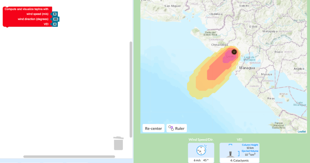
We are excited to announce that our GeoCode: Volcanic Hazards module is available for public use! This free two-week curriculum for middle and high school students has been piloted by participating research teachers as part of the National Science-Foundation funded GeoCode project and extensively studied and redesigned based on our research. It is now available […]
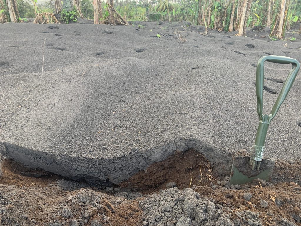
Robert Constantinescu, a Ph.D. candidate in volcanology at the University of South Florida (USF), flew to the island of St. Vincent after the explosive activity at the La Soufrière volcano subsided. Between May 1 and 13, 2021, he worked alongside local scientists from the Seismic Research Centre of the University of West Indies to collect […]
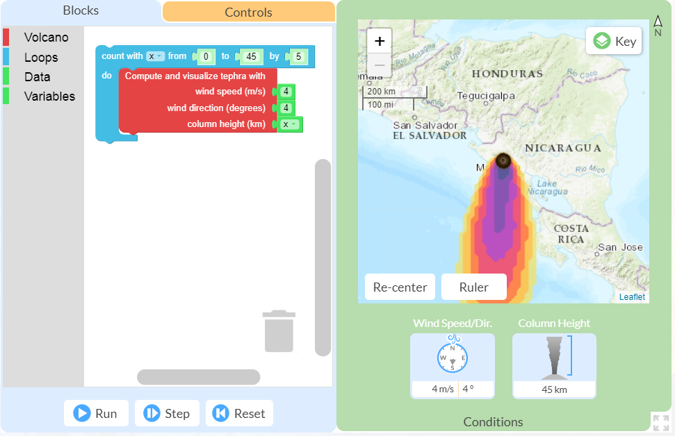
This spring I had the opportunity to pilot the new online GeoCode tephra activities developed as part of the NSF-funded Visualizing GeoHazards and Risk with Code project with my 9th grade Honors Earth Science classes in Evergreen, Colorado. I’d been looking forward to the pilot for months, but only a handful of weeks before our […]
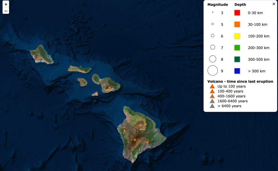
Kilauea, Hawai’i’s youngest and most active volcano, has been continuously erupting since 1983. But it made news again recently with large earthquakes and lava fountains erupting in residential areas. Have you ever wondered what’s going on with Kilauea? Can scientists predict when and where a volcano will next erupt? You can use Seismic Explorer to […]