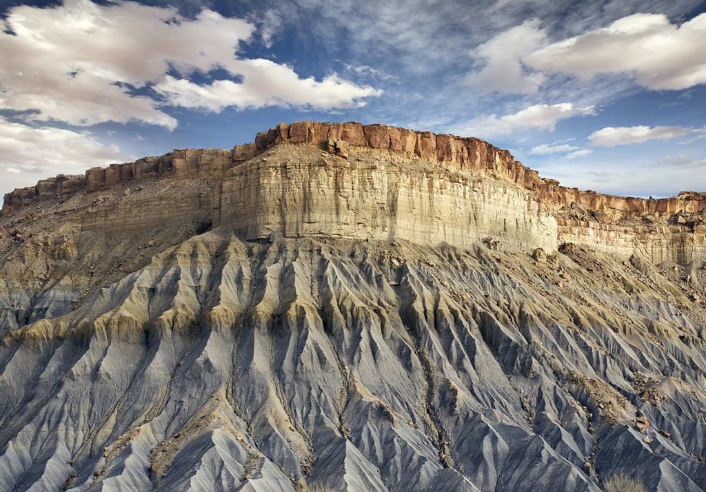
Category: Tag: geology
TecRocks allows students to investigate the evolution of rock sequences created under different tectonic conditions.
Engaging students in the study of geohazards through integrating computational thinking with science practices. Students will be able to transform real-world GPS data into visualizations and formulate scientific arguments about predicting impacts and assessing risks.
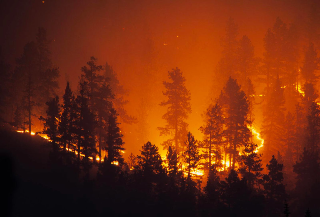
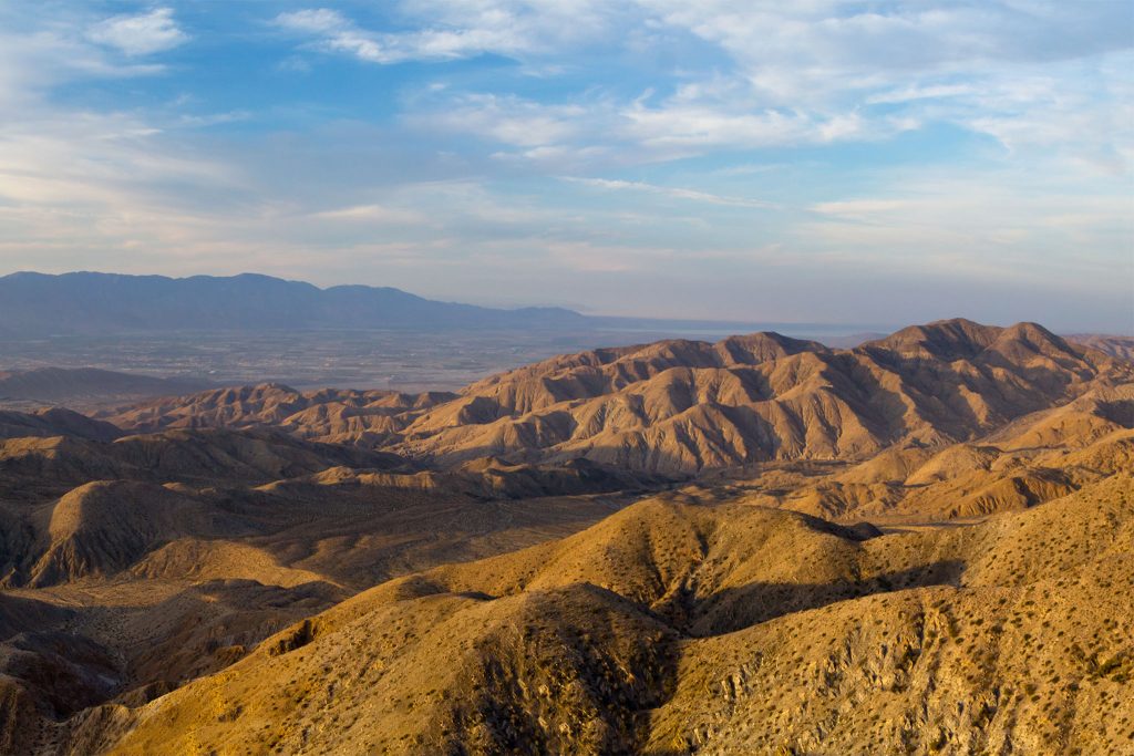
Exploring natural hazards and extreme events, the predictability and physical impact of these events, and the risk to human lives.
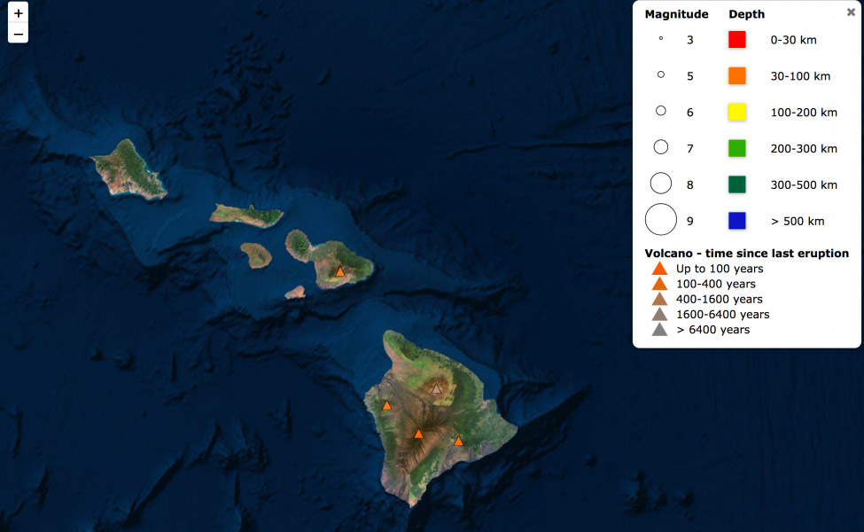
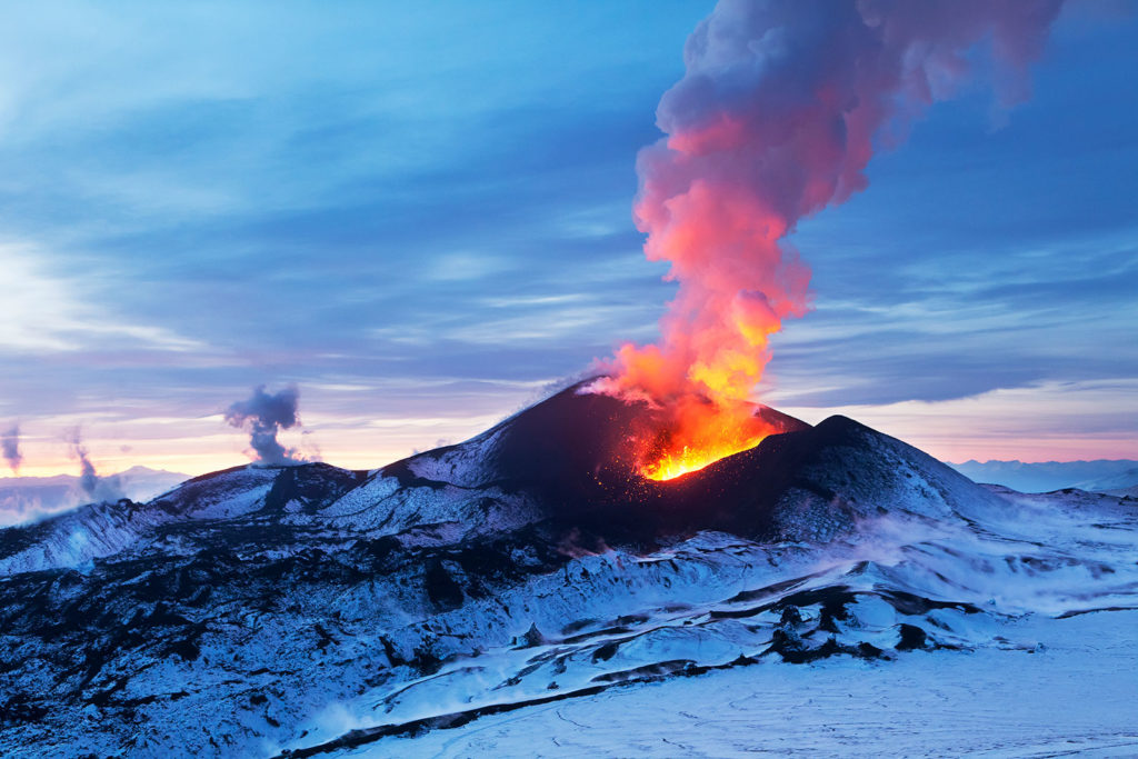
Kilauea, Hawai’i’s youngest and most active volcano, has been continuously erupting since 1983. But it made news again recently with large earthquakes and lava fountains erupting in residential areas. Have you ever wondered what’s going on with Kilauea? Can scientists predict when and where a volcano will next erupt? You can use Seismic Explorer to […]
In his spare time, Saul Amster likes to program. He’s currently working on a project to turn a tablet into a magic mirror. Yes, like Snow White’s evil stepmother (“Mirror, mirror on the wall…”), except imagine asking the mirror for the day’s forecast or the score of last night’s game. “Programming is an interesting hobby,” […]
Earthquakes occur worldwide daily, and their aftereffects vary widely, from minimal to devastating. From California to the Mediterranean, some communities live with the threat and consequences of earthquakes and their aftershocks on a regular basis. Understanding what causes an earthquake is not easy. How is it possible to visualize monumental slabs of Earth moving? And […]
GEODE aims to transform geoscience teaching and learning using interactive, geodynamic models designed to explore how plate movements are responsible for most features on Earth’s surface.