GeoHazard: Modeling Natural Hazards and Assessing Risks
Importance
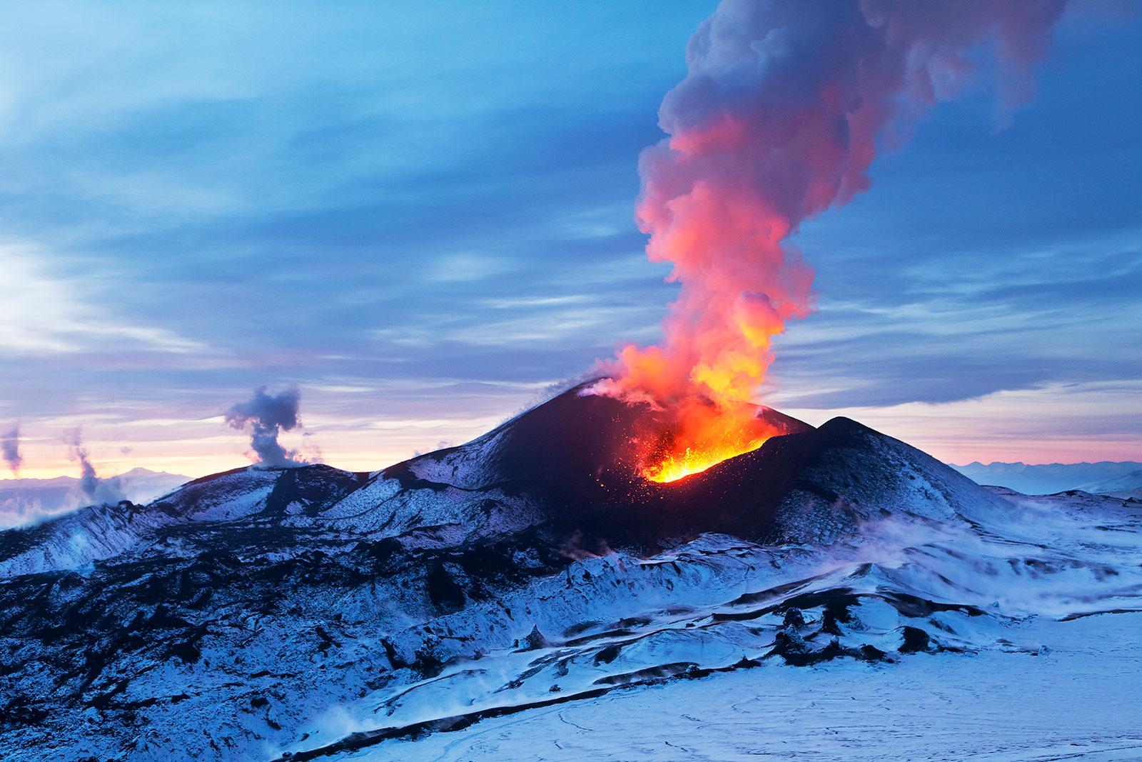
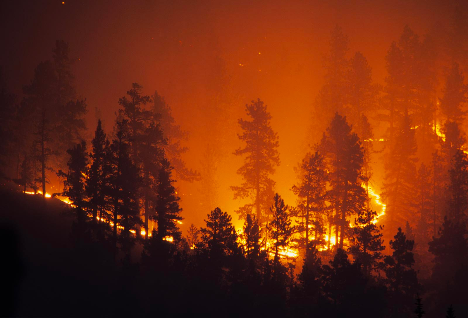
From severe flooding to sustained winds of hurricanes to powerful earthquakes and unstoppable wildfires, natural disasters around the globe have caused devastation and had major impact on millions of people’s lives. What do scientists understand about such extreme events? How can understanding natural hazards help people plan for and recover more quickly from these impending threats?
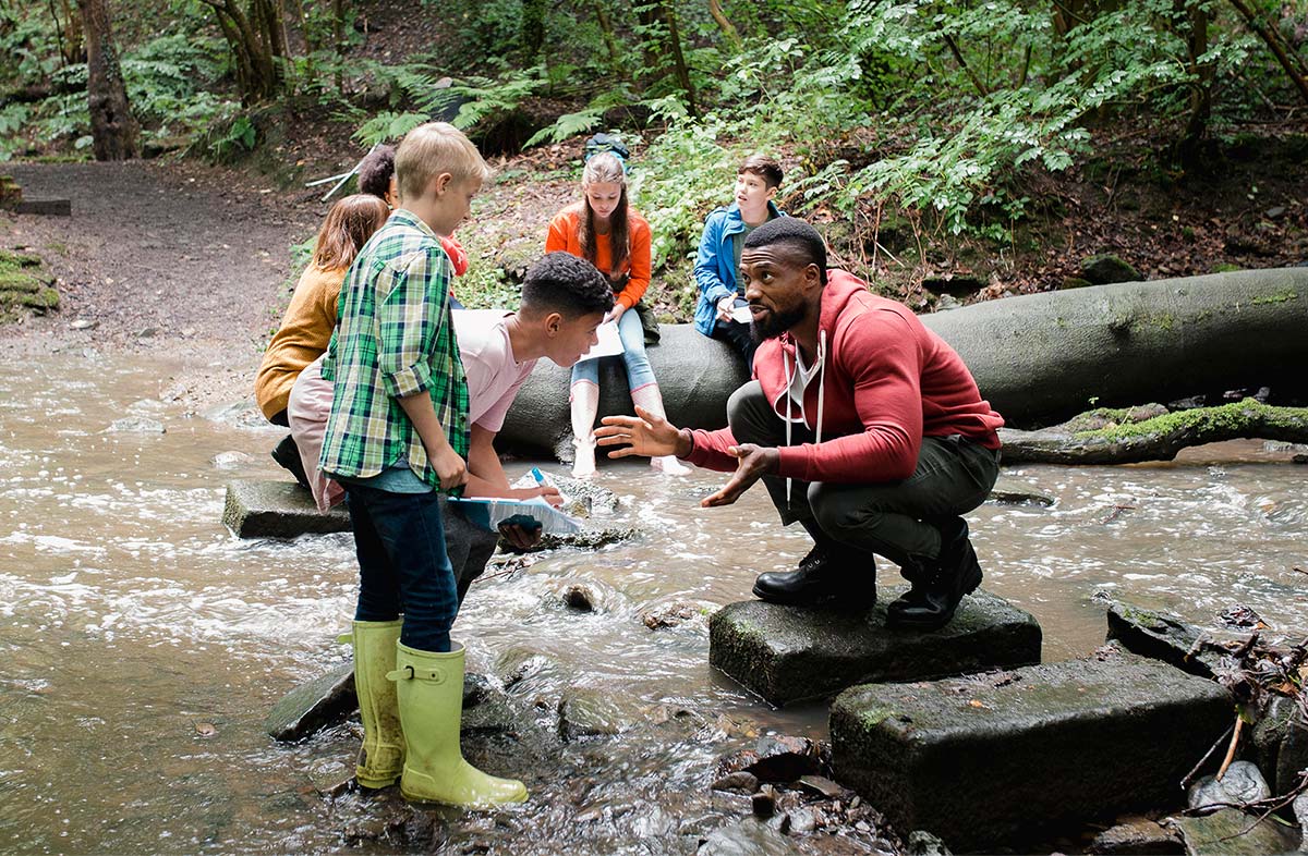
Hundreds of millions of people around the world live in areas prone to natural hazards. There is a critical need for innovative Earth science educational materials that help students interpret data and understand the factors influencing the progression of and the risks associated with natural hazards. Studying the processes underlying them, as well as the relationship between humans and the environment, could enrich Earth science curricula and provide learners with valuable insights into the impact of extreme natural events on mankind.
Learning about natural hazards demands an understanding of complex systems. The Next Generation Science Standards (NGSS) advocates for the inclusion of natural hazards content in Earth science classes in both middle school and high school. Specifically, NGSS suggests that students should analyze and interpret data on natural hazards, consider technologies to mitigate their effects, and use evidence to build scientific arguments about how they have affected human activity.
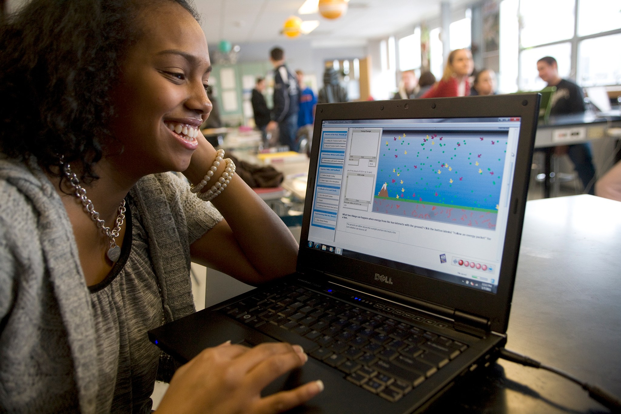
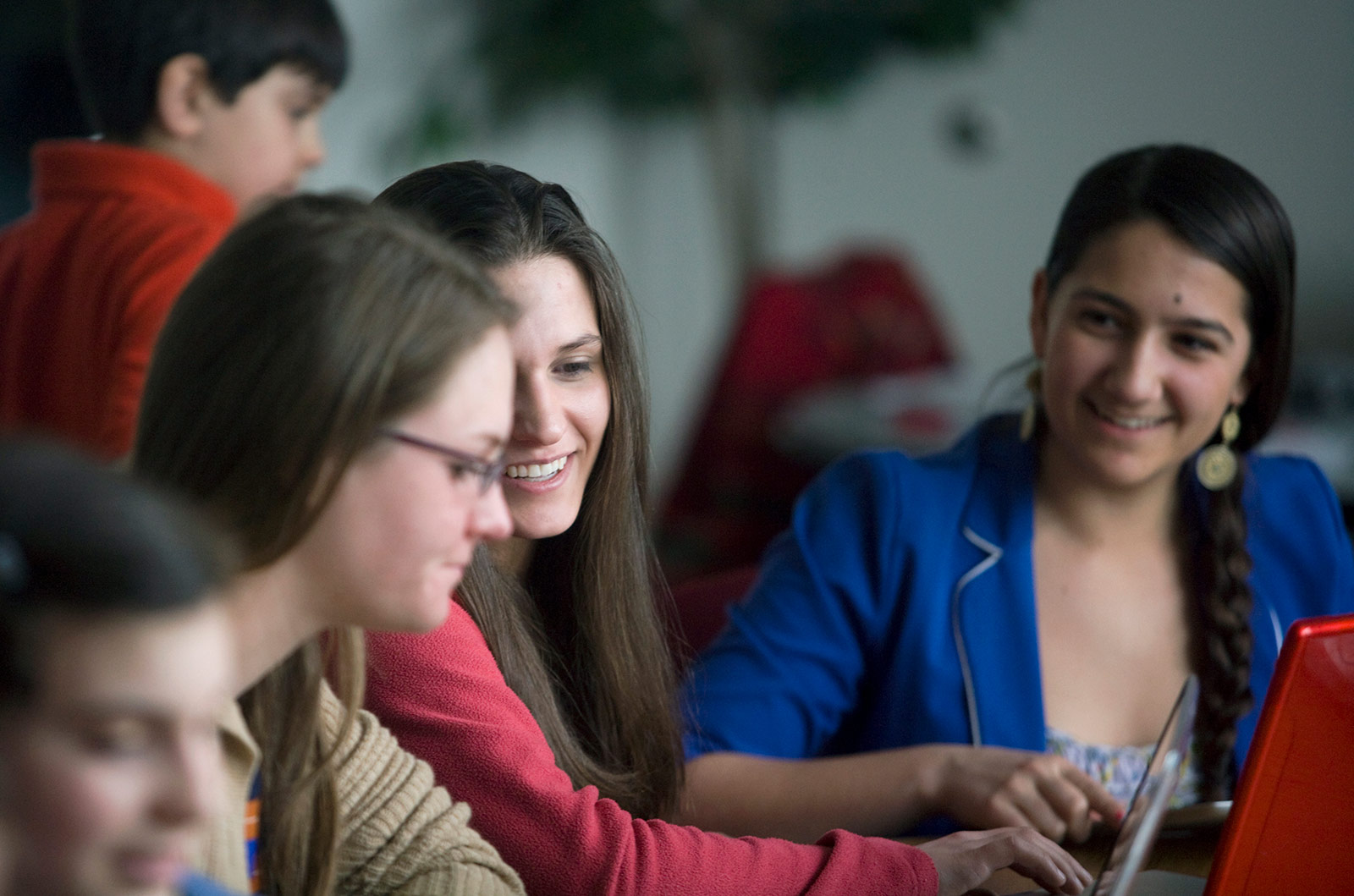
GeoHazard will integrate Earth systems models with easy-to-use data analysis tools to allow students to make sense of fundamental science concepts and enable them to evaluate natural hazards holistically: what causes them, the factors that influence the formation, progression, and severity of the hazard, and which factors contribute most to potential risks (both the likely occurrence of an event and the potential damage caused by the event). Students will experiment with Earth system models and real-world data and use evidence from their exploration of both to develop scientific arguments focused on risk analysis and level of uncertainty related to risk. This approach will allow students to simulate a wide variety of possible scenarios and engage in authentic scientific practices, exploring the limitations and uncertainties of these models and the predictability of outcomes as they compare outcomes to real-world scenarios.
Research
Research on student learning and teacher practice is guided by the following questions:
- How do students use data visualizations to make sense of data and build and refine conceptual models about natural hazards?
- How do students incorporate data from models and the real world when formulating scientific arguments? How do students use scientific uncertainty to assess risks based on their understanding of a natural hazard system? How do students quantify and explain risks to humans and compare different sources of risks?
- Do GeoHazard curriculum modules help students make gains in risk-infused scientific argumentation practice and conceptual understanding underlying natural hazards?
Publications
- Lee, H.-S., Pallant, A., Gweon, G.-H., Lord, T., & Lore, C. (2025). Exploring students’ engagement with inscription-based science practices from the perspective of epistemic (un)certainty. International Journal of Science Education. https://doi.org/10.1080/09500693.2025.2488407
- Lord, T., Horwitz, P., Pallant, A., & Lore, C. (2024). From experience to explanation: An analysis of students’ use of a wildfire simulation. Educational Technology Research & Development. https://doi.org/10.1007/s11423-024-10433-2
- Pallant, A., Lee, H.-S., Lord, T., & Lore, C. (2024). Framing geohazard learning as risk assessment using a computer simulation: A case of flooding. Journal of Science Education and Technology. https://doi.org/10.1007/s10956-024-10151-7
- Lord, T., Horwitz, P., Lee, H.-S., Pallant, A., & Lore, C. (2024). Using simulations to support students’ conceptual development related to wildfire hazards and risks from an experiential learning perspective. Journal of Science Education and Technology. https://doi.org/10.1007/s10956-024-10126-8
- Pallant, A., & Lord, T. (2022). Addressing socioscientific issues while studying natural hazards. @Concord, 26(1), 8–9.
- The Concord Consortium (2021). Innovator interview: Chris Lore. @Concord, 25(2), 15.
- Lore, C. (2020). Exploring the spread of wildfires and interpreting their risks. @Concord, 23(3), 8-9.
- Lee, H.-S. (2020). Making uncertainty accessible to science students. @Concord, 23(3), 14-15.
- Pallant, A. (2020). Perspective: Transforming earth science education with technology. @Concord, 23(3), 2-3.
Blog Posts
Learn more about the GeoHazard project at the Concord Consortium blog.
- Students navigate scientific uncertainty in hurricane science
- Understanding floods: A look inside a classroom
- Teaching hurricane risks and impacts to 6th graders
Activities
View, launch, and assign activities developed by this project at the STEM Resource Finder.