Category: Tag: model
Engaging students in the study of geohazards through integrating computational thinking with science practices. Students will be able to transform real-world GPS data into visualizations and formulate scientific arguments about predicting impacts and assessing risks.
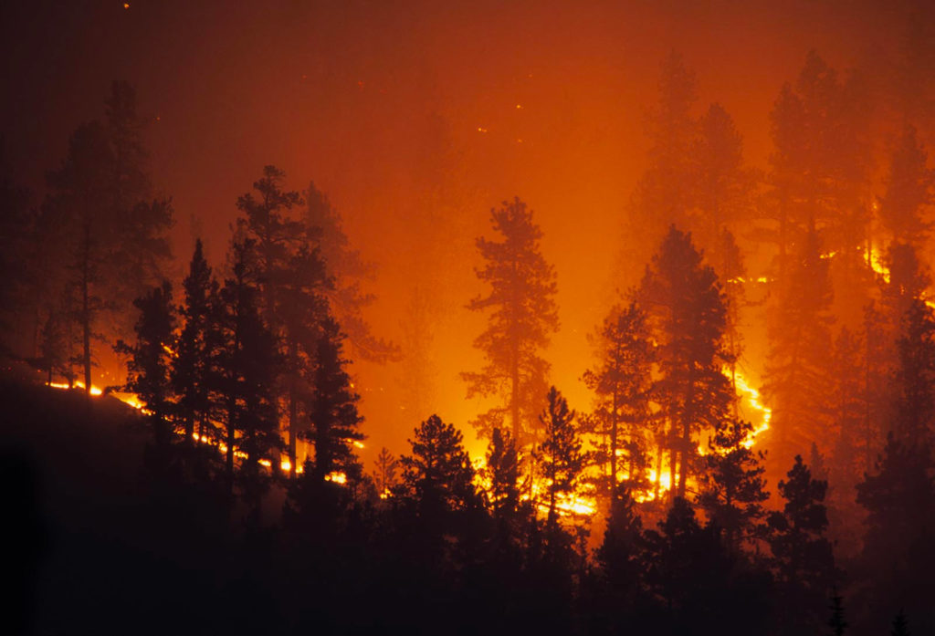
Exploring natural hazards and extreme events, the predictability and physical impact of these events, and the risk to human lives.
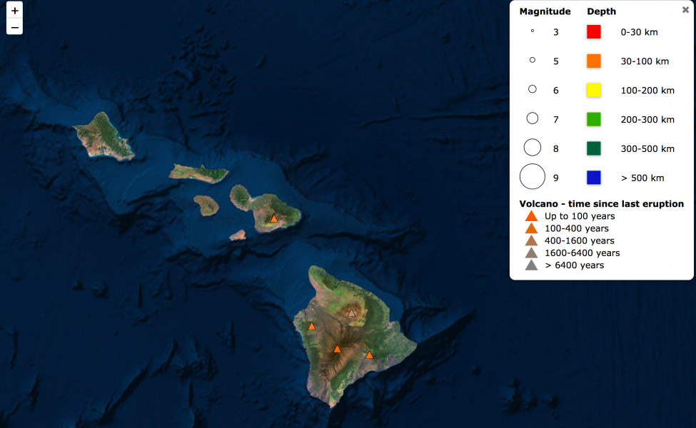
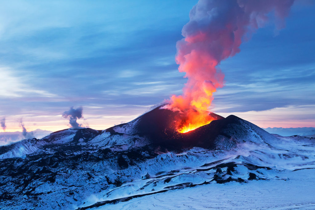
Kilauea, Hawai’i’s youngest and most active volcano, has been continuously erupting since 1983. But it made news again recently with large earthquakes and lava fountains erupting in residential areas. Have you ever wondered what’s going on with Kilauea? Can scientists predict when and where a volcano will next erupt? You can use Seismic Explorer to […]
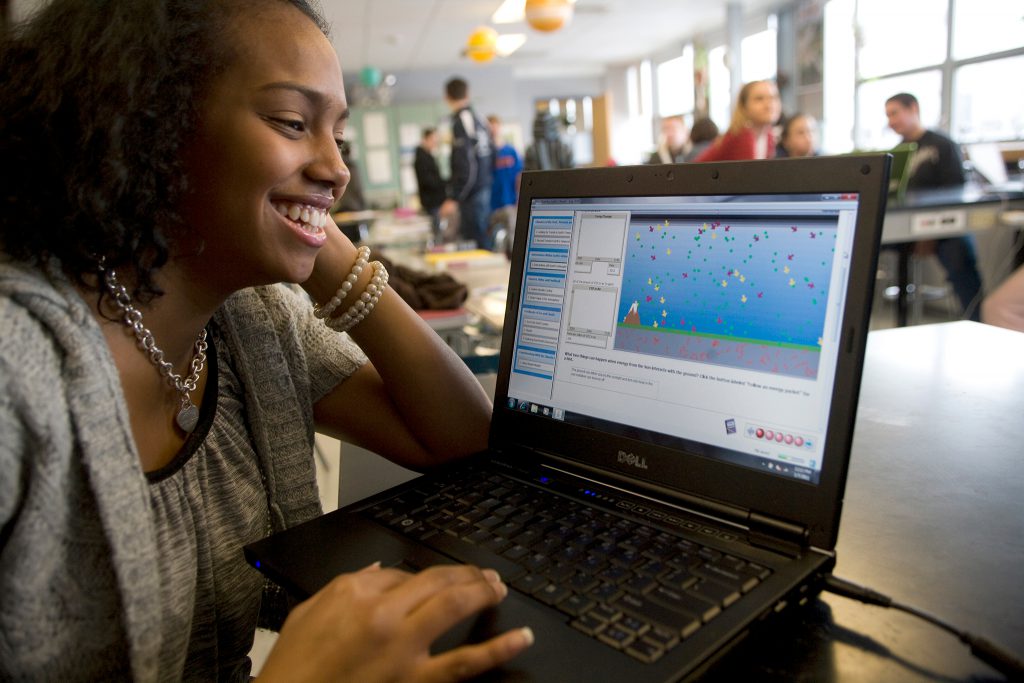
We’re bringing the excitement of scientific discovery to students by letting them explore pressing unanswered questions in Earth, space, and environmental science using the same methods that practicing scientists use.