Category: Main Blog
The High-Adventure Science modules, first written in 2011-2013, are each based on a big unanswered question in Earth/environmental science. These six modules include interactive computer-based systems models and real-world data that students use for evidence as they develop scientific arguments. The modules incorporate real-world data from the National Aeronautic and Space Administration, National Oceanic and […]
Fig. 1: Thermal images in the GalleryGallery is a tool within the SmartIR app for users to manage their own thermal images, temperature graphs, and other data within the app. Unlike the default gallery in the operating system, SmartIR Gallery shows onl…
The Infrared Street View is an award-winning project recognized by the U.S. Department of Energy and subsequently funded by the National Science Foundation. The idea is to create a thermal equivalent of Google’s Street View that would serve as the star…
Location-based augmented reality (AR) games such as Pokemon Go have become popular in recent years. What can we learn from them in order to make SmartIR into a fun science app? In the past week, I have been experimenting with AR in SmartIR using the lo…
Fig. 1A goal of the SmartIR app is to provide basic instructional support directly in the app so that students, citizen scientists, professionals, and other users can learn what they can do with the incredible power of thermal vision beyond its convent…
I am pleased to announce Project Snake Eyes. This ambitious project aims to combine image analysis and infrared imaging to create biomimetic thermal vision — computer vision that simulates the ability of some animals such as snakes to see in darkness….
Fig. 1: The paper-on-cup experiment with SmartIRSmartIR is a smartphone app that I am developing to support infrared (IR) thermal imaging applications, primarily in the field of science and engineering, based on the FLIR ONE SDK. The development offici…
Fig. 1: Integrated design and simulation in Energy3DIn workplaces, engineering design is supported by contemporary computer-aided design (CAD) tools capable of virtual prototyping — a full-cycle process to explore the structure, function, and cost of a…
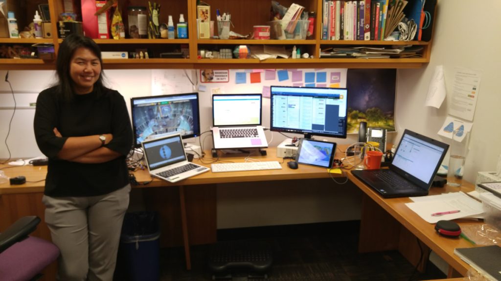
As a software tester at the Concord Consortium, Evangeline Ireland sleuths for bugs in our projects. She ferrets out the source of known glitches (why does hitting the spacebar repeatedly create an error in Geniventure?) and discovers problems before software is released. “If it’s going to be used by teachers without the researchers there to […]
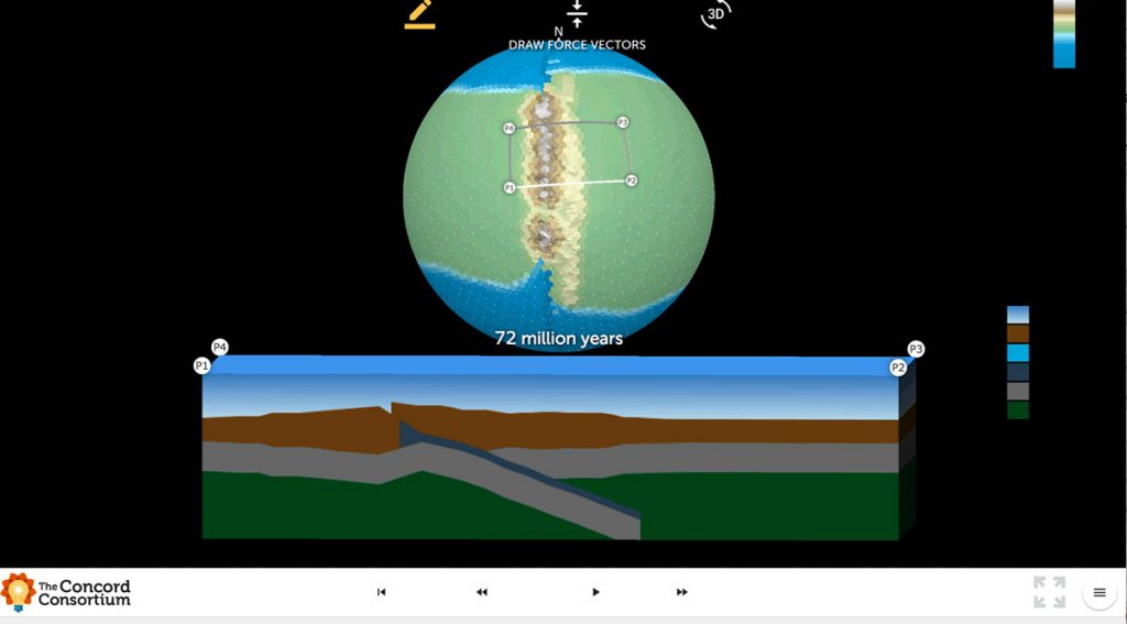
We are excited to introduce the *beta version* of Tectonic Explorer, our newest Earth system model, developed by our GEODE project. Tectonic Explorer features a complex system of interacting tectonic plates around an entire planet — in this case a simplified, Earth-like planet. For the first time in K-12 education, students will be able to […]