Category: Tag: wildfire
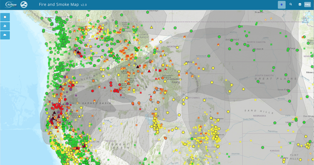
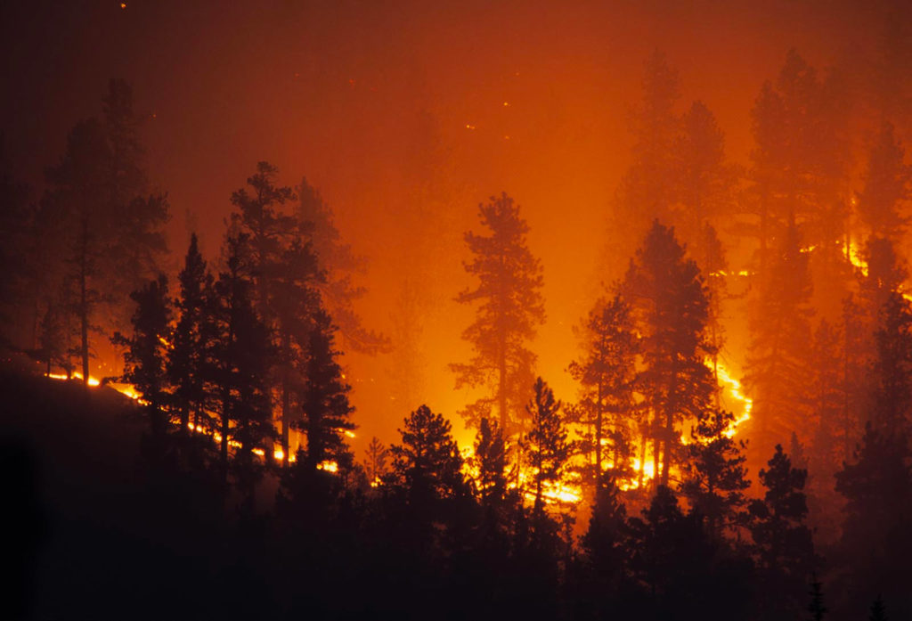
The American West is burning. Wildfires rage, firefighters battle to contain fires, families are forced to evacuate their homes, and smoke chokes neighborhoods hundreds of miles away. Multiple years of drought have desiccated trees, shrubs, and grasses and transformed the western United States into a tinderbox. Air Quality Index and active fires in the western […]

I’ve been thinking a lot about natural hazards while working on the GeoHazard: Modeling Natural Hazards and Assessing Risks project, which is developing curriculum materials for middle and high school students. While helping the team think about how to communicate about the materials being developed, I’ve also been thinking more about the hazards and risks I’m facing through the COVID pandemic and the impact it has already had on my life.
If you think wildfires are in the news more now than in the past, it’s not your imagination. Rather, the increase in wildfires is a trend that scientists have also noticed. One of the many factors driving this change is due to a rise in global temperatures. Because of climate change, droughts are intensifying and fire seasons are getting longer. Scientists are exploring all the factors that influence wildfire behavior and considering the results of experimental computer models with field data.
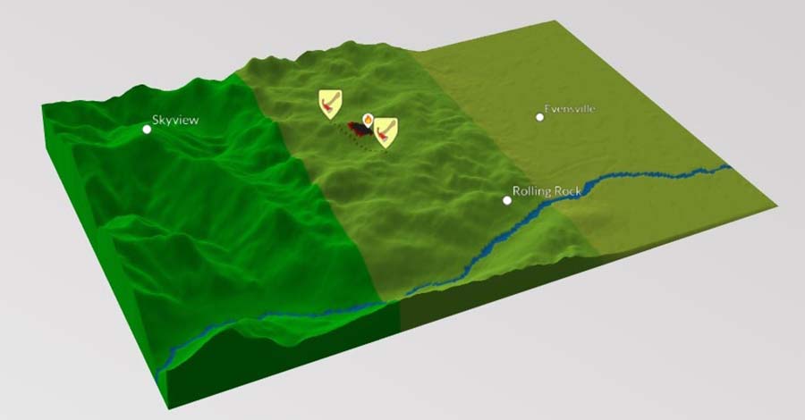
Engaging students in the study of geohazards through integrating computational thinking with science practices. Students will be able to transform real-world GPS data into visualizations and formulate scientific arguments about predicting impacts and assessing risks.
Exploring natural hazards and extreme events, the predictability and physical impact of these events, and the risk to human lives.