Category: Tag: water
The Watershed Awareness using Technology and Environmental Research for Sustainability project project teaches a systems approach to problem solving through hands-on, inquiry-based learning activities based on real national and local data to explore local watershed issues.
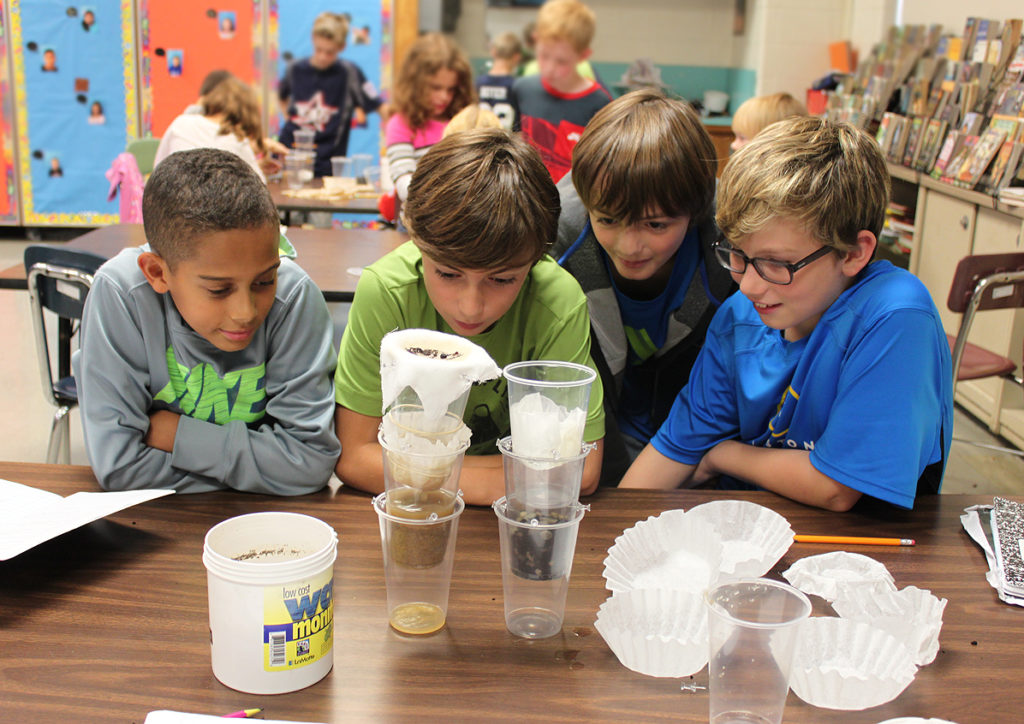
An article in the October 2018 issue of Science and Children looks at groundwater and the natural processes of infiltration as a vital means for cleaning our water. Co-authored by Jonathon Kilpatrick (Greenwood Elementary School in Pennsylvania), Nanette Marcum-Dietrich and John Wallace (both of Millersville University of Pennsylvania), and Concord Consortium Senior Scientist Carolyn Staudt, […]
Engaging students in the study of geohazards through integrating computational thinking with science practices. Students will be able to transform real-world GPS data into visualizations and formulate scientific arguments about predicting impacts and assessing risks.
Exploring natural hazards and extreme events, the predictability and physical impact of these events, and the risk to human lives.
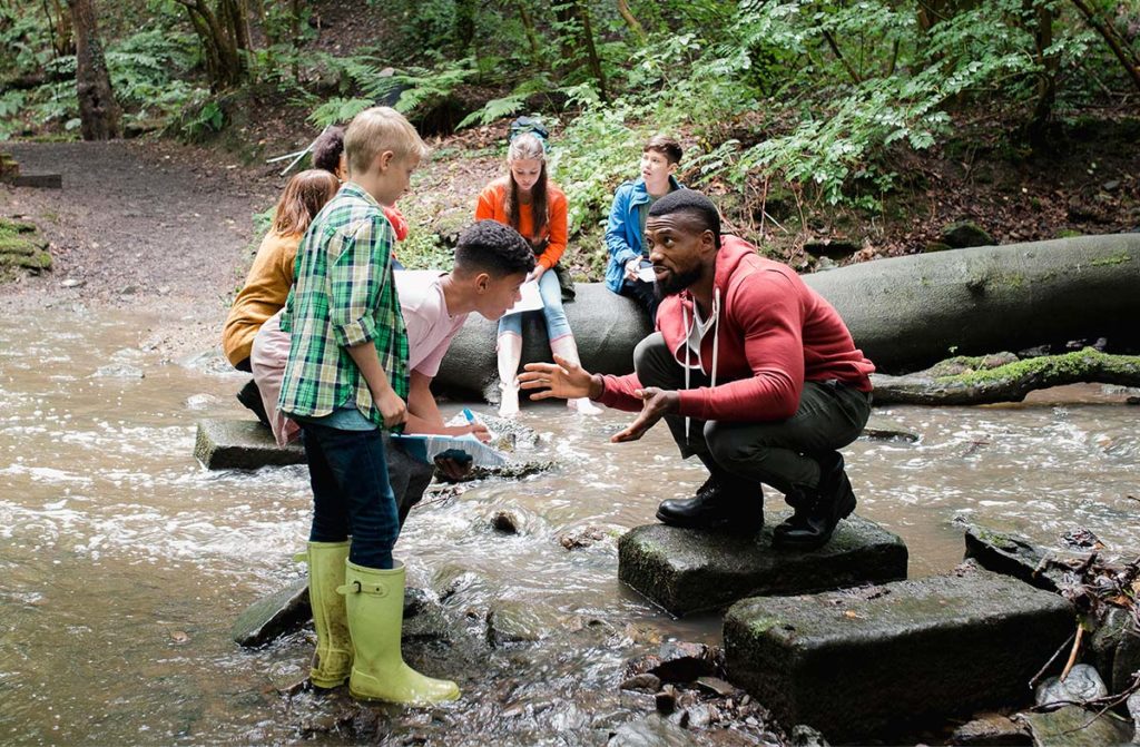
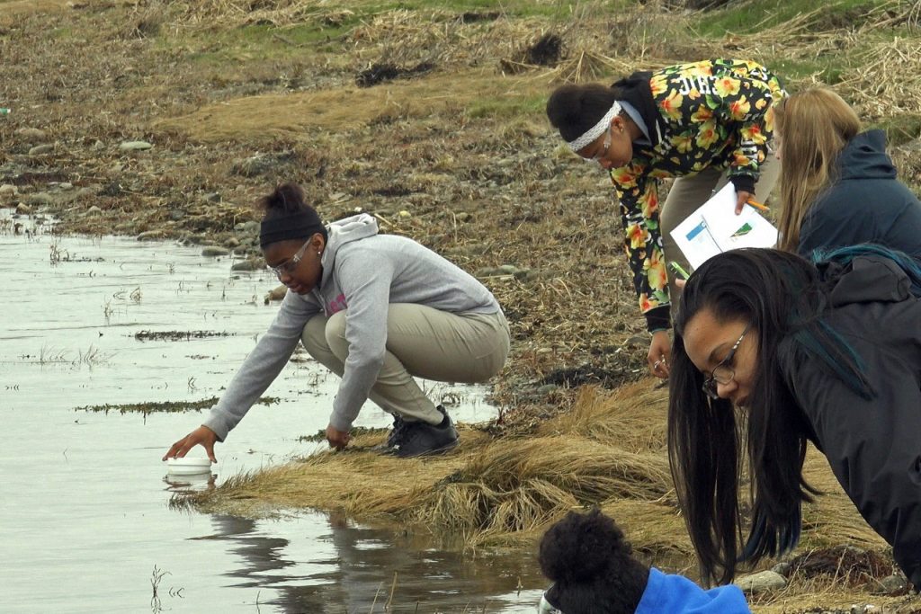
Middle school students complete hands-on science and engineering activities and learn about careers in environmental conservation and engineering while investigating their community’s local water resources.
Providing students and teachers with access to scientifically valid and easy-to-use watershed tools to accurately examine their own neighborhoods, to define local environmental problems or challenges, and to develop solutions to improve their environment.
In collaboration with the Educational Testing Service (ETS), we’re using an automated scoring engine to assess students’ written responses in real time and provide immediate feedback within two Earth science curriculum modules.
We’re bringing the excitement of scientific discovery to students by letting them explore pressing unanswered questions in Earth, space, and environmental science using the same methods that practicing scientists use.
New groundwater and soil moisture drought indicator maps produced by NASA are available on the National Drought Mitigation Center’s website. They currently show unusually low groundwater storage levels in Texas. The maps use an 11-division scale, with blues showing wetter-than-normal conditions and a yellow-to-red spectrum showing drier-than-normal conditions. (Credit: NASA/National Drought Mitigation Center) The map […]
NASA technology is being used to find fossil aquifers underneath Earth’s driest deserts. This technology was developed to explore underneath the surface of Mars, to help determine if there might be water on the red planet. Water is a sign that life might be possible. Why are they using this technology on Earth? We know […]
