Category: Tag: pandemic
By any measure, this has been one of the most stressful years on record, and teachers are among those most affected by the massive devastation wreaked by COVID-19. A recent New York Times article describes the emotional and physical toll of pandemic teaching, and we’ve heard directly from many teachers with whom we’ve collaborated for […]
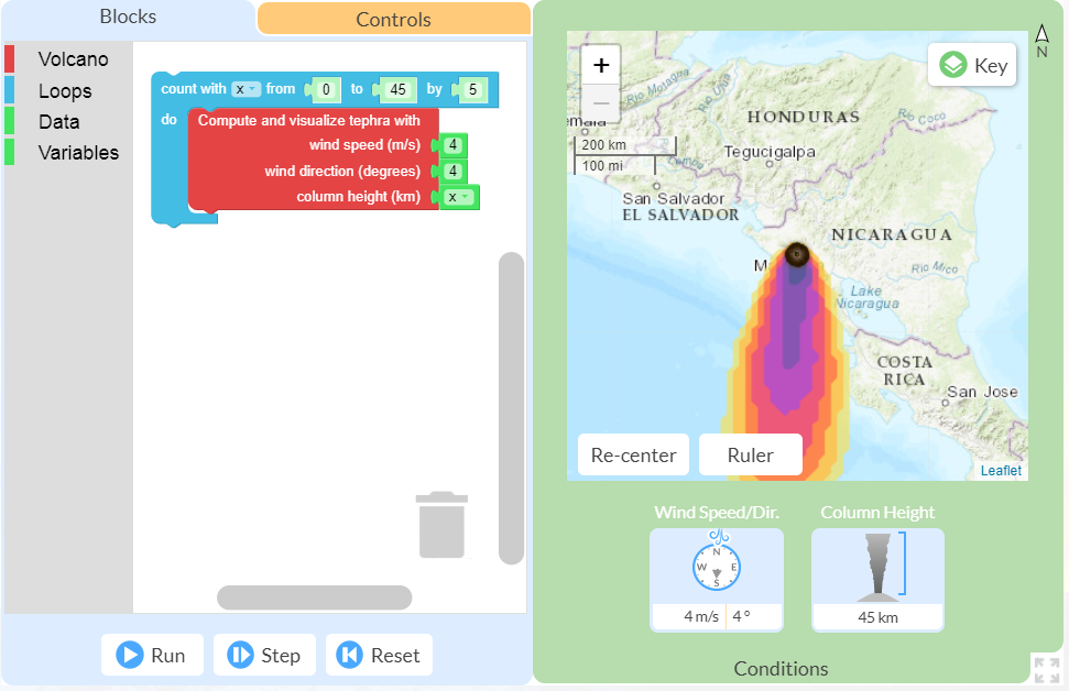
This spring I had the opportunity to pilot the new online GeoCode tephra activities developed as part of the NSF-funded Visualizing GeoHazards and Risk with Code project with my 9th grade Honors Earth Science classes in Evergreen, Colorado. I’d been looking forward to the pilot for months, but only a handful of weeks before our […]
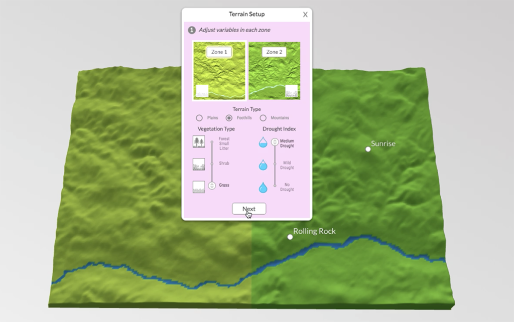
The GeoHazard team contributed to this blog post. We have just wrapped up a week of remote professional learning for our GeoHazard: Modeling Natural Hazards and Assessing Risks project. The goal of GeoHazard is to help students interpret data and understand the factors influencing the progression of and risks associated with natural hazards. Due to […]