Category: GEODE
We recently revised our mission and vision statements, and described our efforts to address issues of diversity, equity, inclusion, and justice in several of our research projects. We know that this was only a beginning. As we said, “We are still learning how to design science, technology, engineering, and mathematics resources that are more socially […]
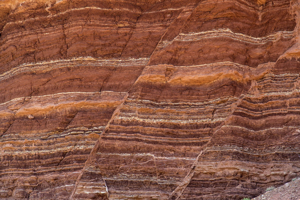
Earth science classes typically present plate tectonics and the rock cycle as separate and unrelated concepts. Yet land and rock formation are directly related to the tectonic environments in which they form. Indeed, plate tectonic interactions are fundamental to understanding geological processes. A new project funded by the National Science Foundation is focused on teaching […]
Now more than ever, teachers are looking for Earth and environmental science activities they can use in any classroom environment, whether it’s face-to-face or remote. We have developed a collection of innovative curriculum and embedded Earth system models and teacher resources, and want to ensure that these resources can be used by any teacher, anywhere. […]
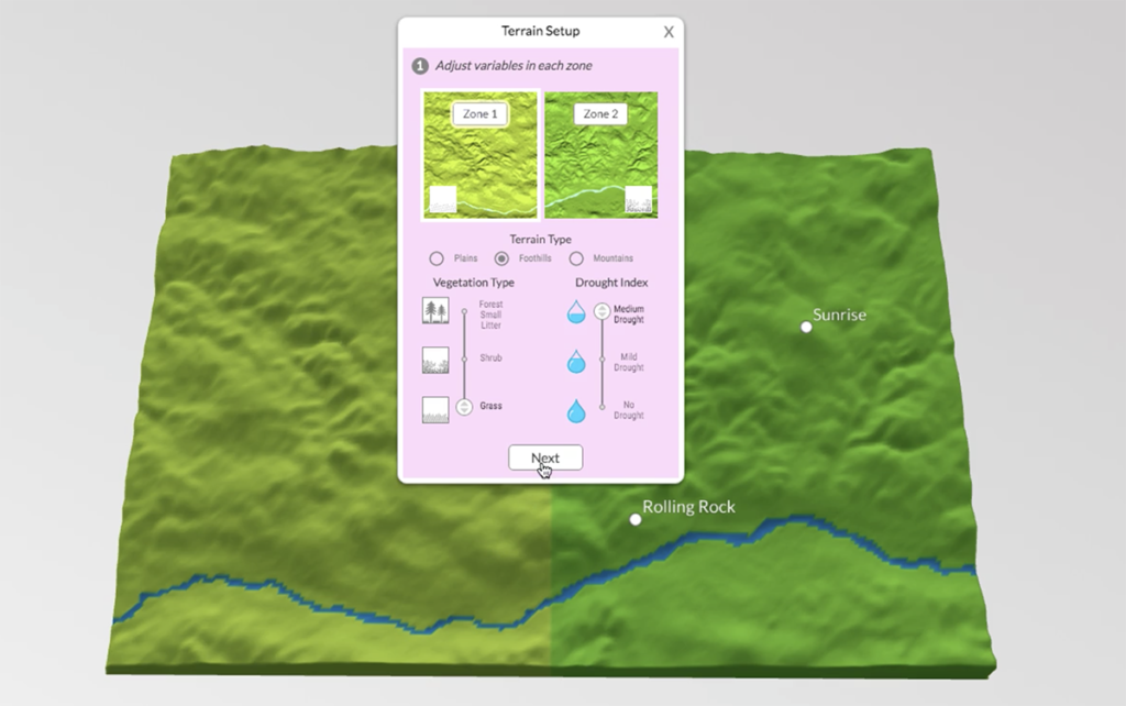
The GeoHazard team contributed to this blog post. We have just wrapped up a week of remote professional learning for our GeoHazard: Modeling Natural Hazards and Assessing Risks project. The goal of GeoHazard is to help students interpret data and understand the factors influencing the progression of and risks associated with natural hazards. Due to […]
All volcanic eruptions are dangerous. Some are more dangerous than others. Volcanic eruptions range from slow, relatively gentle flows of lava to explosive eruptions of gases, ash, and rock. Our Visualizing Geohazards and Risk with Code project (GeoCode) challenges students to model tephra volcanic eruptions (tephra refers to all particles ejected explosively from a volcano, […]
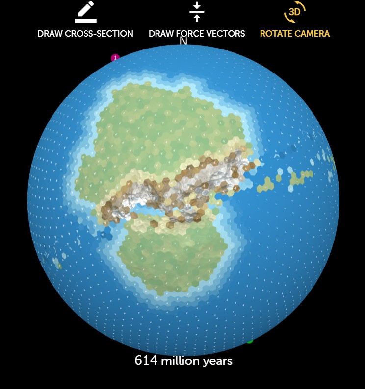
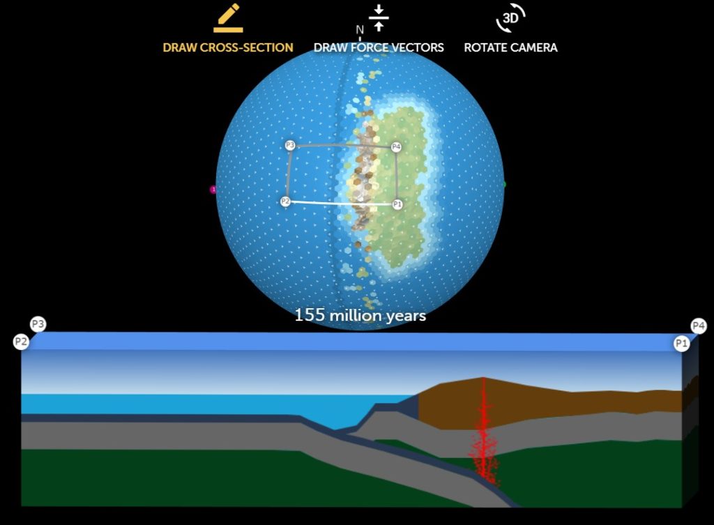
Julia LaCava was a summer intern at the Concord Consortium. A junior at Ithaca College, she majors in communications. Imagine being able to set up a simulation of an Earth-like planet to explore tectonic plate movement and see the results of plate interactions. Now your students can do just that, thanks to our new Tectonic […]
Julia LaCava was a summer intern at the Concord Consortium. A junior at Ithaca College, she majors in communications. Earth’s surface is dynamic and changing all the time. Volcanic eruptions and earthquakes alter the landscape, sometimes in very dramatic and sudden ways. On a much longer time scale, the movement of Earth’s plates can change […]
“We wondered when you’d figure it out.” Once David Oyler decided to be a teacher, his friends and colleagues wondered what had taken him so long. They understood his heart lay in teaching long before he did.
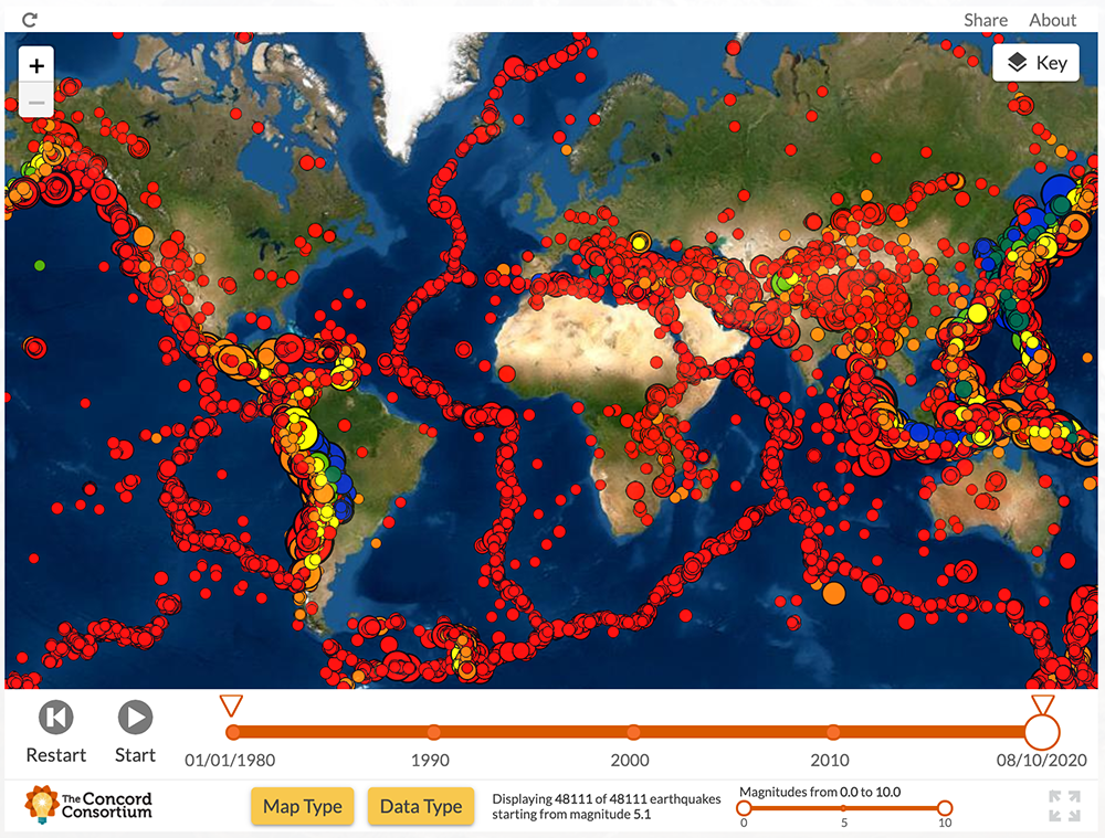
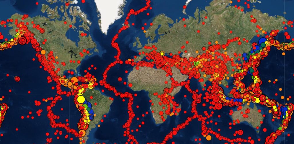
Christine Fernandes began as a horticulture major at Pennsylvania State University, but transferred to agricultural education so she could become a teacher. She absolutely loves her career choice. She learned about the Concord Consortium through a listserv from her alma mater. We’re collaborating with Penn State on our GEODE project to develop new geodynamic plate tectonic modeling software for middle school students. The software is designed to allow students to observe and describe the formation of surface geologic features in terms of plate interactions. Christine explains, “It really clicked for the students, seeing what was happening below the ground in relation to the size and magnitude of the earthquakes along the western coast of South America.”
Julia LaCava was a summer intern at the Concord Consortium. A junior at Ithaca College, she majors in communications. We are excited to announce the public release of our new model-based curriculum that teaches plate tectonics like never before! “What will Earth look like in 500 million years?” was developed by our Geological Models for […]
