Mapping Time

Importance
Whether investigating Earth’s evolving climate, understanding the spread of disease, or examining changes in global commerce and distribution of resources, changes in geospatial data over time occupy center stage in research and decisions for STEM professionals and world leaders alike. Students must become fluent in analyzing and working with such time-based data involving maps and geospatial scenarios.
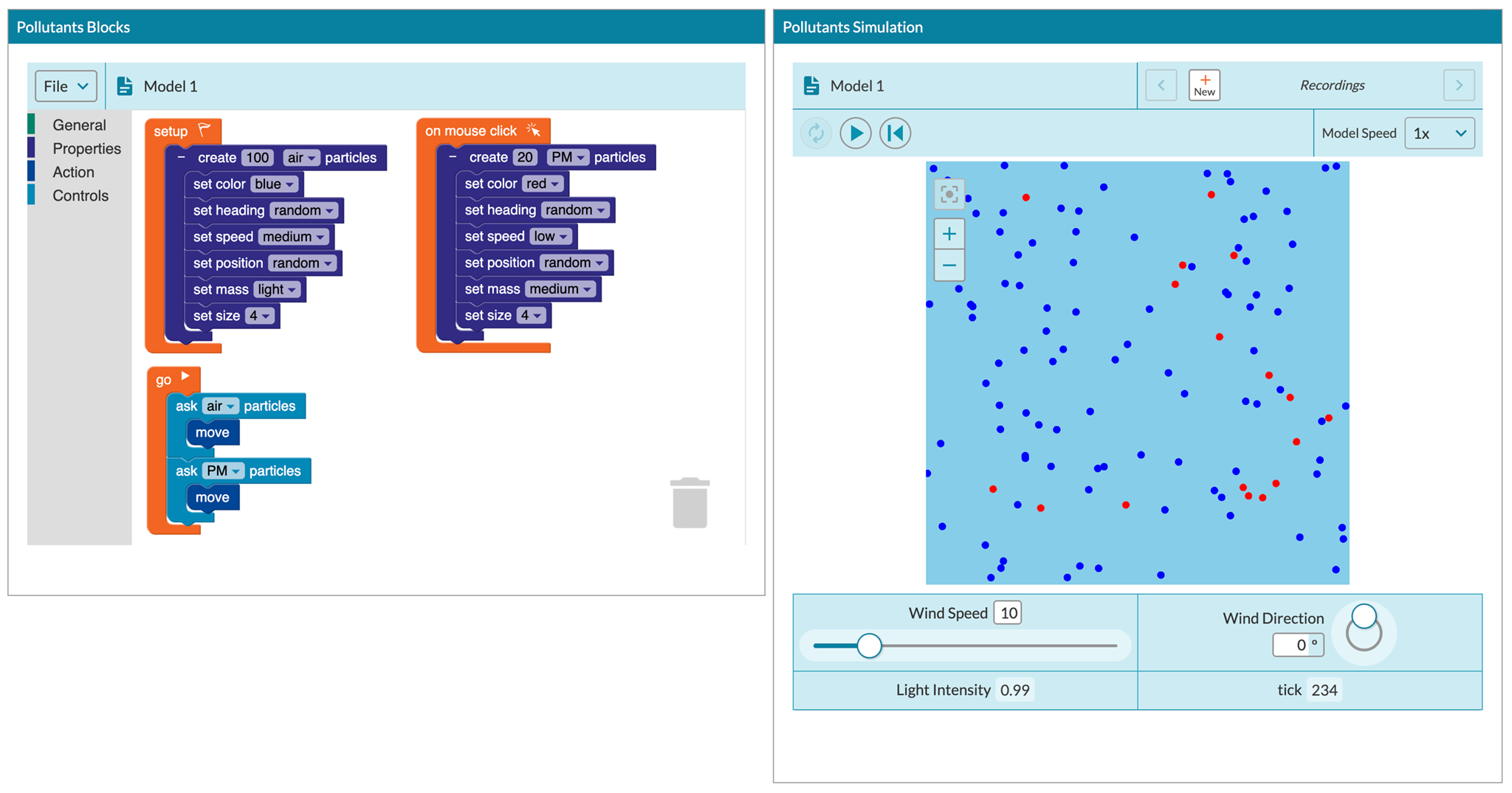
While providing technologies and pedagogies for students to explore time-based geospatial data, visualize them across multiple parameters, and identify patterns, trends, and connections remains a highly complicated prospect, frontier research and cutting-edge techniques offer promising opportunities. The Mapping Time project will design, implement, and research how emerging technology can foster time-based geospatial data analysis by high school learners.
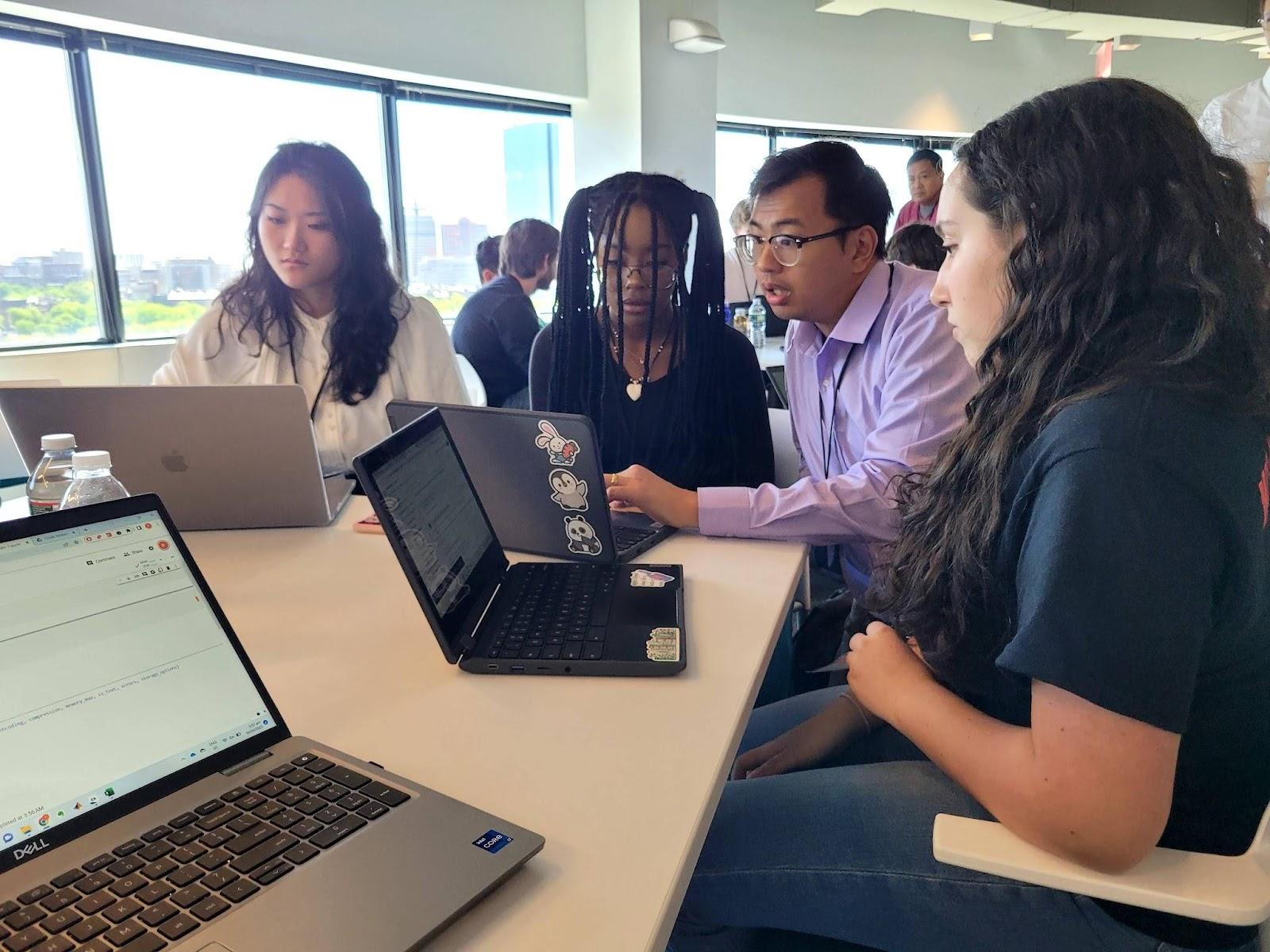
This project will develop and test the Mapping Time Explorer, a novice-friendly software suite for the exploration of time-based geospatial datasets, with high school students enrolled in James Madison University’s Geospatial Semester (GSS) program. The GSS is a dual-enrollment partnership between JMU and school districts across Virginia where secondary students are offered an intensive course focusing on geospatial technologies and have the opportunity to apply those technologies to a range of inquiry-based projects, including a final project of their own choosing.
We will collaborate with GSS teachers to co-design classroom activities, aiming to identify both the technology features and approaches that will be most useful for integrating into the existing GSS curriculum and extending the learning objectives to encompass the time-based component of the geospatial learning. Students will learn to identify, characterize, and analyze hotspots; dynamically search across spatial datasets temporally; and identify patterns across time-based spatial data.
Research
The project will conduct early-stage research in technology and learning innovation to explore two sets of questions.
Technology innovation research questions:
- How can emerging UI affordances and designs be leveraged for use by high school students for visualizing and exploring time-based geospatial data?
- How can emerging methodologies for processing and analyzing time-based geospatial data be leveraged for use by high school students?
Learning innovation research questions:
- How can emerging UI affordances and designs within inquiry-based classroom activities enable high school students to explore and analyze time-based geospatial data?
- Which emergent methodologies for processing time-based geospatial data offer promise for high school students’ learning?
Blog Posts
Learn more about the Mapping Time project at the Concord Consortium blog.