Innovator Interview: Chris Lore

The Rothermel equation, which describes the rate of fire spread, has been used in fire management systems since the 1970s.* It continues to inspire Chris as a curriculum designer.
“Science is a lot of failure,” reflects Chris, thinking about his master’s thesis at Rensselaer Polytechnic Institute (RPI). He laughs, “I didn’t have great success most of my time there.” His research focused on the geochemistry of element diffusion in the Earth’s crust. “Knowing the conditions like pressure and temperature that a rock formed in can be useful for many applications.” His goal was to investigate the mineral tourmaline for its use in recording and preserving the conditions of pressure, temperature, and the composition of fluid in which it formed.
It took Chris a semester before he successfully grew tourmaline in the lab. “It was beautiful under the microscope,” he reports. So the next step was devastating: crushing the gemstone he’d worked so hard to create into a powder! He was able to use the powdered form enriched in 10B (the less abundant isotope of boron) as a marker, then simulate the heat and pressure conditions of the Earth’s crust to see how far the 10B diffused. Finally, he could calculate the diffusion rate.
Recognizing how much work it was to get that one number, Chris appreciates firsthand the many ideas, and experimental failures, Rothermel must have had to reach a single wildfire spread number. “The process of science can be really frustrating,” he admits, “but the rewards are exciting.” Chris hopes to infuse that excitement in the geoscience curriculum he helps design.
Rothermel’s equation (which has been refined over the years, thanks to more sophisticated computer modeling) is used as the calculation engine behind our Wildfire Explorer model as part of our GeoHazard project. Students can run their own wildfire experiments, constraining one variable—terrain, drought levels, vegetation, wind speed, and wind direction—at a time.
“Such open-ended models give students a lot of space to explore,” explains Chris, though he acknowledges that it can be difficult to get them to buy into the scientific process. He wants students to know there is always more to do: reflect on the results, ask additional questions, experiment, and start the cycle again. When teachers report their students’ “aha” moments, Chris knows that he’s been able to make complicated concepts accessible.
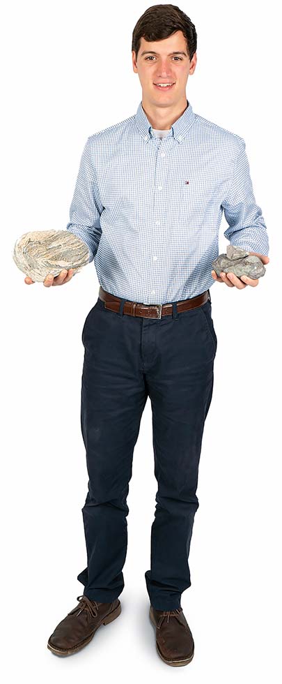
Chris had his own “aha” during a field methods course as a freshman environmental science major at RPI. During a field trip to the Bennington Bypass at the border of New York and Vermont, he saw a huge metamorphic rock cut with horizontal rock layers that suddenly and dramatically curved straight up. Awestruck by the beautiful outcrop, he changed his major to geology. “Every rock tells a story,” he says, “what it is, why it’s where it is, and much more.” Chris now helps students learn that history in the TecRocks project, which connects rock formation to the environments and processes that generate them through an interactive 3D model.
A more recent road trip, this one across the country to relocate to Vancouver, expanded his perspective even more about both the importance of geohazard education and the scale of geology. Growing up in the Northeast, he wasn’t familiar with wildfires, so the constant road signs reminding motorists about fire risks—”If you see a fire, report a fire”—surprised him.
“Geology is all around us all the time,” Chris muses. Indeed, he can now see the coastal Canadian North Shore Mountains from his window, and he can’t wait to start uncovering their stories.
* Rothermel, R. C. (1972). A mathematical model for predicting fire spread in wildland fuels. USDA Forest Service Research Paper INT-115. Ogden, UT: U.S. Department of Agriculture, Intermountain Forest and Range Experiment Station.
