YouthQuake
Importance
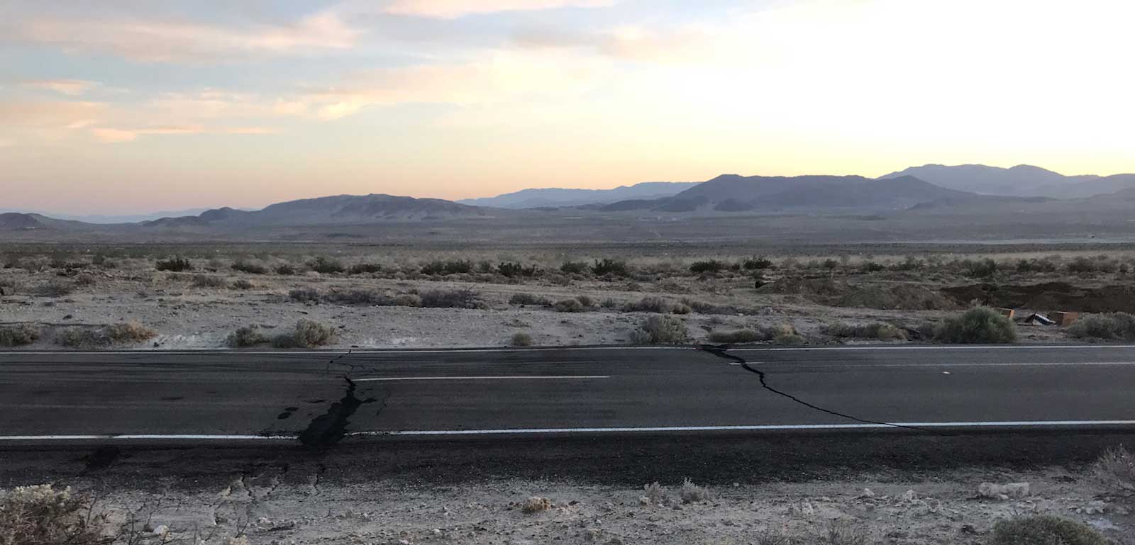
Earthquakes threaten communities in California. Most residents live within 30 miles of an active seismic fault, putting them at risk of experiencing impacts from an earthquake. However, less than half of Californians are prepared for such emergencies. Earthquakes can wreak havoc on infrastructure, cause casualties, and disrupt vital services. Computational geoscientists use large-scale seismic, geographical, and socioeconomic datasets to identify vulnerable communities and assess earthquake likelihood and impacts.
Earthquake research, like other topics in Earth science, requires sophisticated instruments such as remote sensing satellites, land stations, and seismic and GPS stations. As data from these instruments become more robust and computers become more powerful, the rise of computational practices in geoscience research and careers is also accelerating.
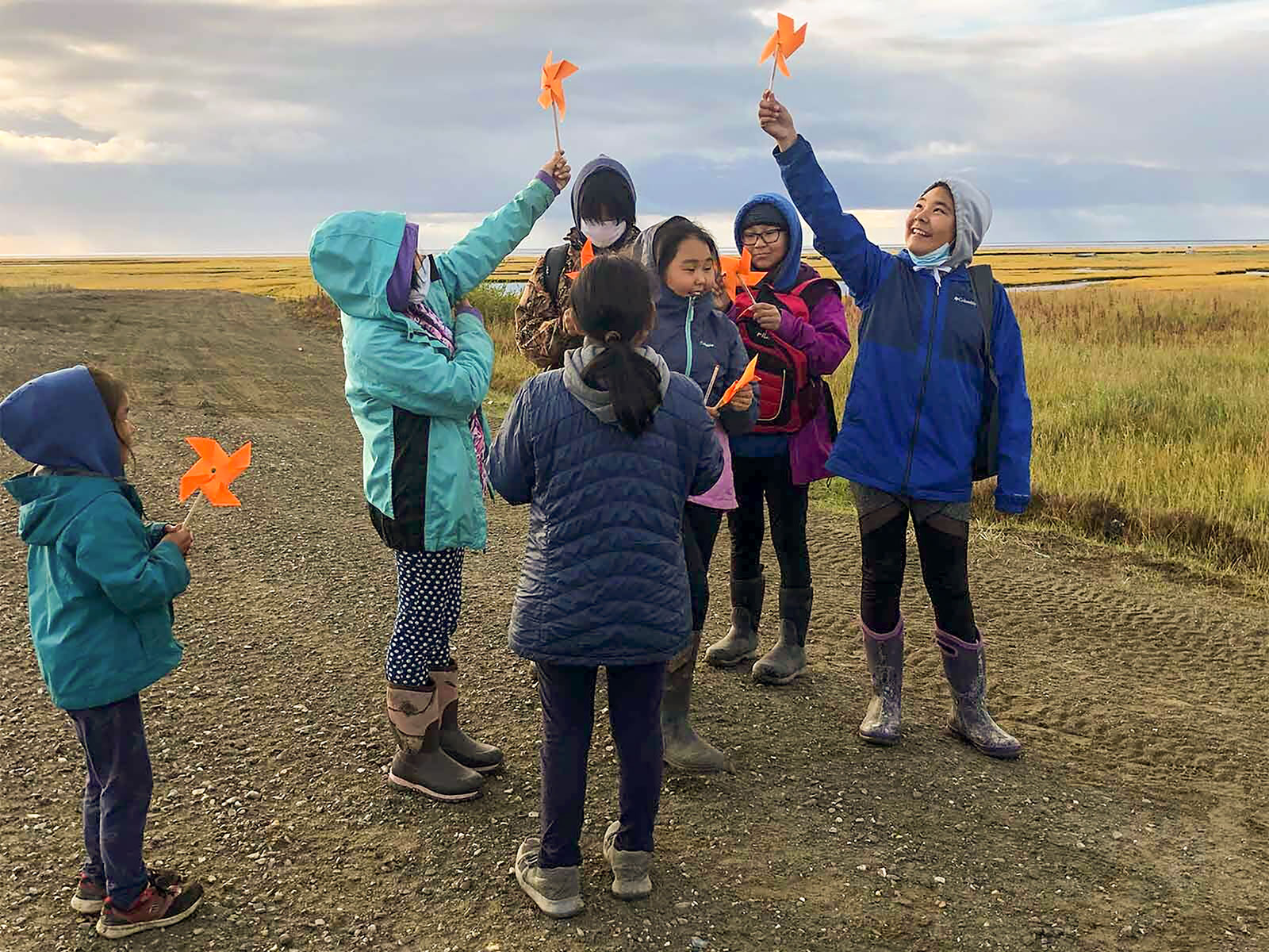
The YouthQuake project aims to engage urban middle school students in a diverse Californian school district in an investigation of their community’s earthquake hazards, risks, and preparedness. YouthQuake will develop materials that will be situated in the community context as students 1) explore their neighborhood’s likelihood of experiencing a damaging earthquake and related preparedness, 2) investigate GPS data and use computational models of land motion along the faults around their community, and 3) create computational visualizations of earthquake hazard maps. A partnership of teachers, geoscientists, researchers, technology and curriculum developers, a professional development specialist, a workforce and diversity specialist, and a diverse group of geoscientists will work closely together to develop the curriculum, implement in urban classes, and explore how students engage in authentic computational geoscience investigations of earthquake hazards and whether these activities increase their interest in, and identity with, computational geoscience careers.
Research
This project will investigate how an authentic, community-specific, real-world experience can support urban Hispanic and African American students’ engagement with computation-mediated science practices related to earthquake risks and preparedness. Research is guided by the following questions:
- What types and levels of computational reasoning do students elicit during the YouthQuake curriculum? What computational reasoning do they learn as a result of the curriculum in the context of local seismic risk assessment?
- Do students’ computational geoscience identities change before and after they use the YouthQuake curriculum? What factors are responsible for changes in students’ computational geoscience identities, including demographic variables, students’ personal meaning attributed to YouthQuake activities, and their learning gains in computational reasoning?
- What aspects of the computational geoscience practices enhance or impede Hispanic and African American students’ development of epistemic agency?
- How do students identify and address their community needs when they assess community risks, develop methods for communicating risks to the community, and develop community-based solutions?
Publications
- Pallant, A., Lord, T., Lore, C., & Lee, H.-S. (2026). Stem identity development: Leveraging teacher stem identity to design activities for students. Journal of Science Teacher Education. https://doi.org/10.1080/1046560X.2026.2654360
- Lord, T. (2025). Building stem identity through youthquake. @Concord, 28(2), 8-9.
- Lore, C., Lee, H.-S., Pallant, A., & Chao, J. (2024). Using multiple, dynamically linked representations to develop representational competency and conceptual understanding of the earthquake cycle. Computers & Education. 222.
Blog Posts
Learn more about the YouthQuake project at the Concord Consortium blog.
- Giants in the classroom: Developing students’ STEM identities
- The power of a scientist’s visit
- Using multiple visual representations to understand the earthquake cycle