In Part I you learned what a watershed is and its role in protecting a community from flooding. Carolyn Staudt has led NSF-funded projects that teach middle and high school students how to gather data about their water resources. She feels strongly that the science and engineering skills students learn in the process are essential.
“Elementary through secondary students need to be able to evaluate questions such as: How serious is the water challenge? In what ways do human actions affect water systems? How do we measure water quality?” Staudt wrote in the Spring 2016 @Concord newsletter. Studying water resources is also a good vehicle for learning to visualize and analyze data, make hypotheses, use both hands-on and digital instrumentation, and solve problems.
Staudt recognized water as a critical issue in 1998 after a trip to Sierra Leone, where access to clean water was a problem. “I was at UNESCO in Paris and they asked what I thought the most important resource was.” While everyone else was talking about oil and gas, she said water. “Water is shared—there are people upstream and downstream. What you do with your local watershed impacts everyone,” she says. “But nobody knows about their own watershed.”
She has developed NSF-funded projects for middle and high school students that address water issues using hands-on, real-world water quality science and engineering activities. In one project, students from California, Pennsylvania, and Massachusetts learned to collect data about their own watershed using a simple water testing kit developed by the Global Rivers Environmental Education Network (GREEN). They shared their data using iSENSE, a web platform designed for students to visualize and exchange scientific data.
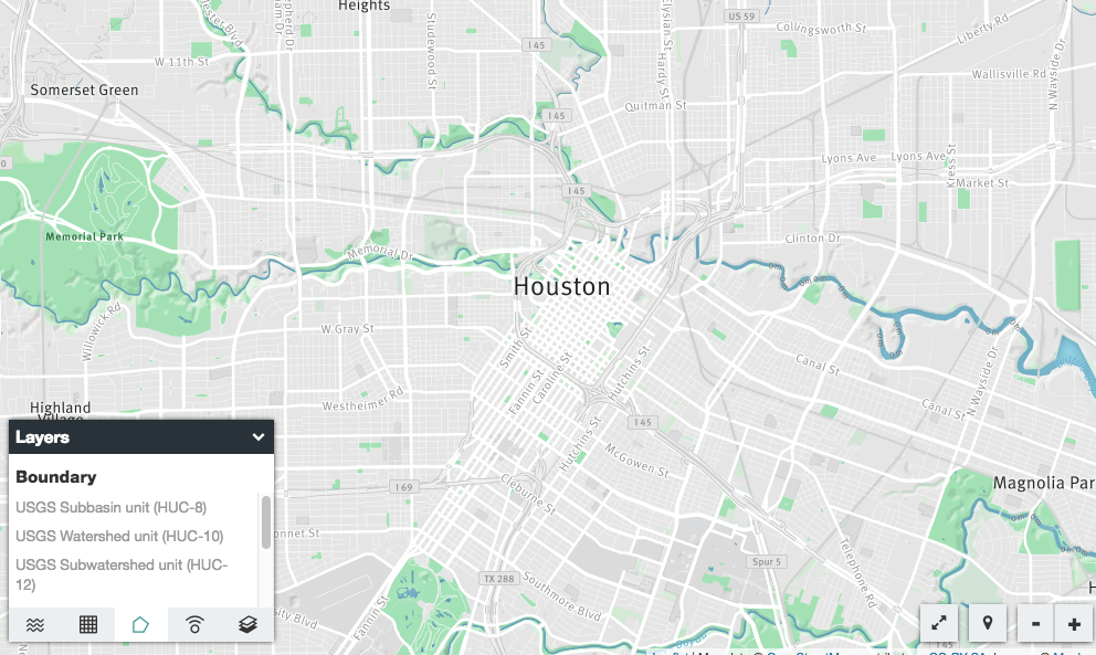
 Model My Watershed models human impacts on a watershed.
On another project, she worked with the Stroud Water Research Center in Pennsylvania, and schools in Pennsylvania, Iowa, California, Kansas, and Virginia, to develop a Watershed Tracker app for collecting data and a Model My Watershed app that uses real land use and soil data to analyze the environmental impact of various conservation and development scenarios, such as increasing the number of trees or replacing soil with black top, on a local watershed. Model My Watershed won a Pennsylvania Governor’s Award for Environmental Excellence, and became part of a larger WikiWatershed developed by Stroud.
Staudt and her project partners also developed a dozen video interviews with science and engineering professionals discussing their professions, so students could learn about careers in environmental conservation and engineering. A three-minute video about the project won an NSF Video Showcase Award.
The first time Staudt viewed how a large land cover database could be used to digitally visualize a watershed, “It was like SimCity on steroids,” she says. “You could see the result of conservation practices. With 100% forest cover there was almost no runoff. We wanted to let kids see what would happen if they made changes.”
Kids took notice and took action. “Fifth grade students started turning up at local zoning commissions and school board meetings,” says Staudt. With real data in hand, they demonstrated why a parking lot shouldn’t be built on a field.
“Often what you teach in school stays in school,” Staudt says. “We need more environmentally prepared citizens.”
If you have students who are using environmental data to influence their school or town, or they have higher aspirations to statewide or national impact, share your experiences. What data did students collect and how did they use it? Leave a comment here, or tweet @concorddotorg
For more information:
Water SCIENCE
Teaching Environmental Sustainability: Model My Watershed
USGS: Water